ZCZC HFOTWOCP ALL
TTAA00 PHFO DDHHMM
Tropical Weather Outlook
NWS Central Pacific Hurricane Center Honolulu HI
800 AM HST Tue Jul 11 2023
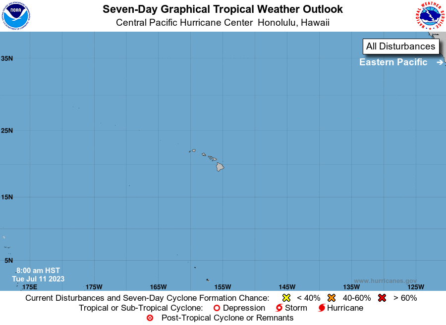
For the central North Pacific...between 140W and 180W:
The National Hurricane Center in Miami, Florida is monitoring an
area of low pressure (EP94) located a few hundred miles southwest
of the southern coast of Mexico. The system does not yet have a
well-defined center, but is producing winds near tropical storm
force on its west side. Any additional organization of the low-level
center, will lead to a tropical storm developing later today or
tonight. The system is expected to move westward to
west-northwestward at 15 to 20 mph over the next several days. This
system could move into the Central Pacific Hurricane Center area of
responsibility early next week.
Elsewhere, no tropical cyclones are expected during the next 7 days.
$$
Forecaster TS
NNNN