ZCZC MIATWOAT ALL
TTAA00 KNHC DDHHMM
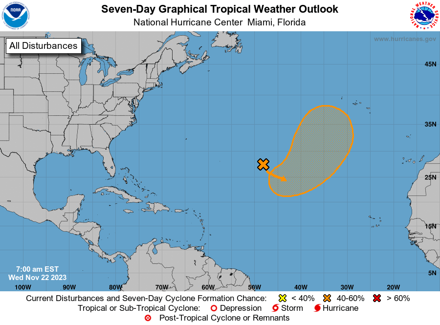
Tropical Weather Outlook
NWS National Hurricane Center Miami FL
700 AM EST Wed Nov 22 2023
For the North Atlantic...Caribbean Sea and the Gulf of Mexico:
1. Central Subtropical Atlantic:
An area of low pressure is expected to develop along a frontal
boundary over the central subtropical Atlantic in a day or so. This
non-tropical low is forecast to move southeastward across the
central subtropical Atlantic over warmer sea surface temperatures
during the next few days, and environmental conditions could allow
for this system to gradually acquire tropical or subtropical
characteristics. A subtropical or tropical storm could form by the
latter part of this week or this weekend, as the system turns
northeastward by the weekend.
* Formation chance through 48 hours...low...20 percent.
* Formation chance through 7 days...medium...50 percent.
Forecaster Kelly