ZCZC MIATWOAT ALL
TTAA00 KNHC DDHHMM
Tropical Weather Outlook
NWS National Hurricane Center Miami FL
700 AM EST Sat Nov 18 2023
For the North Atlantic...Caribbean Sea and the Gulf of Mexico:
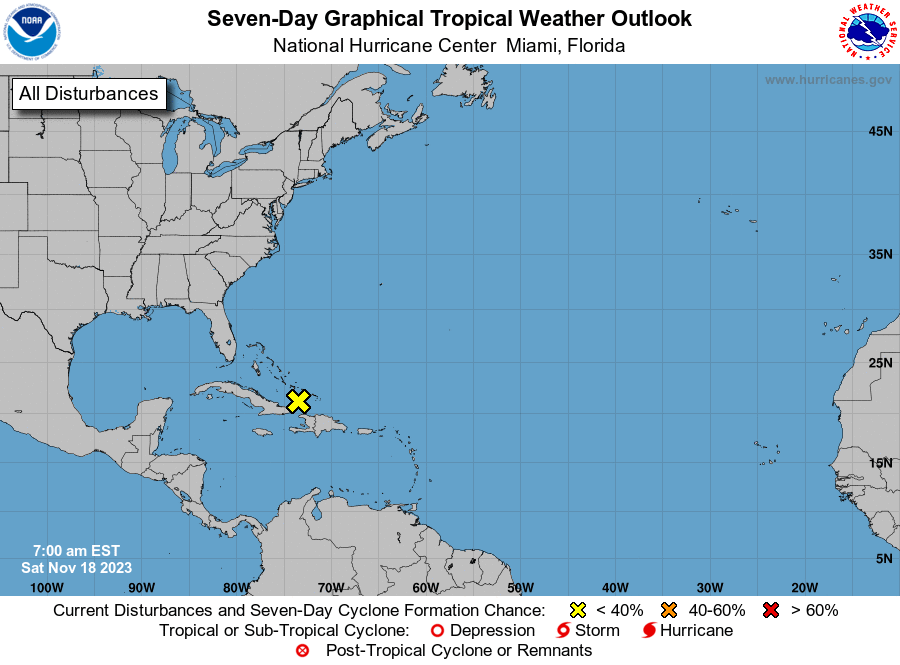
1. North-Central Caribbean Sea and Southwestern Atlantic:
A broad trough of low pressure located near the southeastern
Bahamas, former Potential Tropical Cyclone Twenty-Two, is producing
a large area of disorganized showers and thunderstorms. Although
development of this system is no longer anticipated, areas of heavy
rain are expected to continue through Sunday across portions of
Jamaica, southeastern Cuba, Hispaniola, the southeastern Bahamas,
and the Turks and Caicos Islands. These rains are likely to
produce flash flooding, along with mudslides in areas of higher
terrain.
* Formation chance through 48 hours...low ...near 0 percent.
* Formation chance through 7 days...low...near 0 percent.
Forecaster Roberts