ZCZC MIATWOAT ALL
TTAA00 KNHC DDHHMM
Tropical Weather Outlook
NWS National Hurricane Center Miami FL
200 PM EDT Sat Nov 4 2023
For the North Atlantic...Caribbean Sea and the Gulf of Mexico:
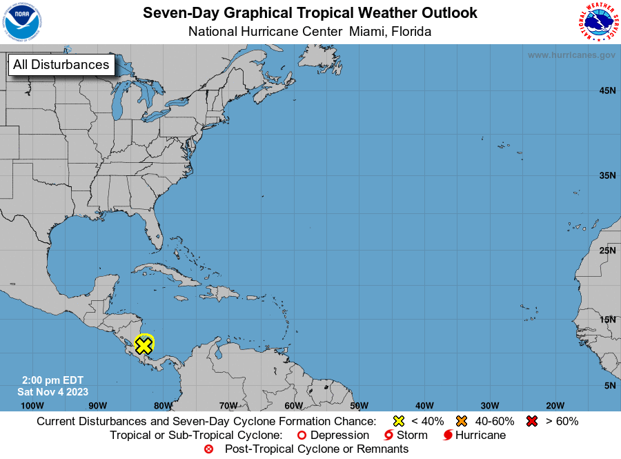
1. Western Caribbean Sea (AL97):
Satellite data and surface observations indicate that the low
pressure system over the western Caribbean Sea is now located just
off the coast of Costa Rica and Nicaragua. The associated showers
and thunderstorms have become less organized during the past few
hours, and development of this system appears unlikely before it
moves inland over Central America tonight or early Sunday.
Regardless of development, this system is expected to bring heavy
rains to portions of Central America during the next couple of days.
This rainfall could produce flash flooding, along with mudslides in
higher terrain areas. For additional information about this system,
see forecast products issued by your national meteorological
service.
* Formation chance through 48 hours...low...10 percent.
* Formation chance through 7 days...low...10 percent.
Forecaster Cangialosi