ZCZC MIATWOAT ALL
TTAA00 KNHC DDHHMM
Tropical Weather Outlook
NWS National Hurricane Center Miami FL
200 AM EDT Sat Nov 4 2023
For the North Atlantic...Caribbean Sea and the Gulf of Mexico:
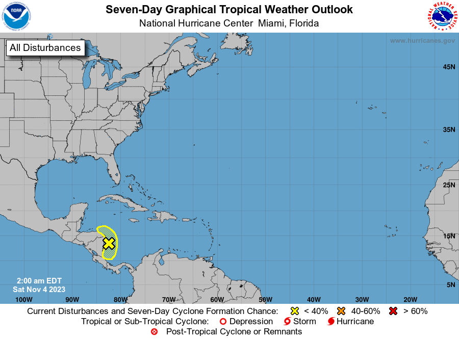
1. Western Caribbean Sea (AL97):
A broad area of low pressure continues to produce a large area of
disorganized showers and thunderstorms across the western Caribbean
Sea and over portions of Central America. Further development of
this system appears unlikely before it moves inland over Central
America later today. Regardless of development, this system is
expected to bring heavy rains to portions of Central America this
weekend. This rainfall could produce flash flooding, along with
mudslides in areas of higher terrain. For additional information
about this system, see forecast products issued by your national
meteorological service.
* Formation chance through 48 hours...low...10 percent.
* Formation chance through 7 days...low...10 percent.
Forecaster Reinhart