ZCZC MIATWOAT ALL
TTAA00 KNHC DDHHMM
Tropical Weather Outlook
NWS National Hurricane Center Miami FL
200 PM EDT Sun Sep 17 2023
For the North Atlantic...Caribbean Sea and the Gulf of Mexico:
Active Systems:
The National Hurricane Center has issued the last advisory on
Post-Tropical Cyclone Lee, which is near Newfoundland, and
has also issued the last advisory on Post-Tropical Cyclone Margot,
located over the central subtropical Atlantic. The National
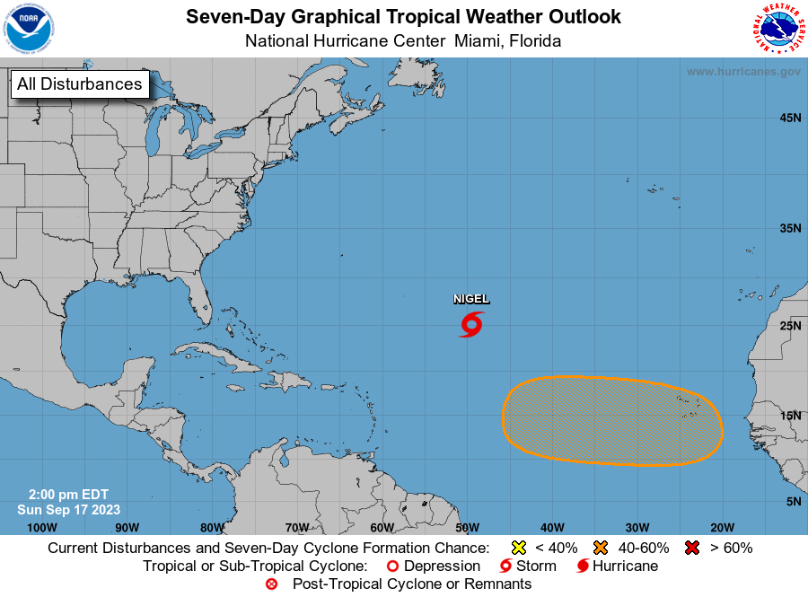
Hurricane Center is issuing advisories on Tropical Storm Nigel,
located over the central Atlantic.
1. Eastern Tropical Atlantic:
A tropical wave is forecast to move off the west coast of Africa by
Wednesday. Gradual development of the wave will be possible
thereafter and a tropical depression could form late this week or
next weekend while the system moves westward across the eastern
tropical Atlantic.
* Formation chance through 48 hours...low...near 0 percent.
* Formation chance through 7 days...medium...40 percent.
Forecaster Pasch