Text Products
Eastern North Pacific Tropical Weather Discussion
867
AXPZ20 KNHC 170303
TWDEP

Tropical Weather Discussion
NWS National Hurricane Center Miami FL
0405 UTC Thu Sep 17 2026

Tropical Weather Discussion for the eastern Pacific Ocean from
03.4S to 30N, east of 120W including the Gulf of California, and
from the Equator to 30N, between 120W and 140W. The following
information is based on satellite imagery, weather observations,
radar, and meteorological analysis.

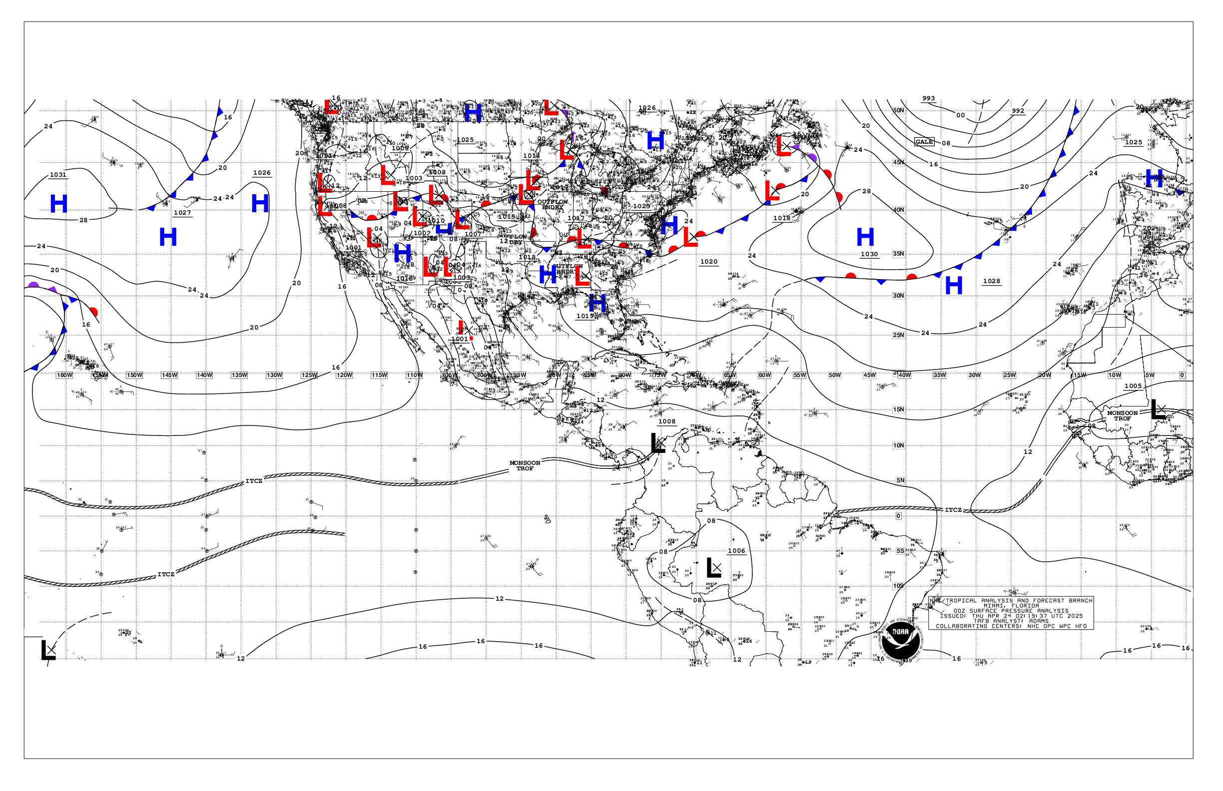
Based on 0000 UTC surface analysis and satellite imagery through
0300 UTC.

...SPECIAL FEATURES...

Gulf of Tehuantepec Gale Warning: The pressure gradient between
high pressure over southern Mexico and the eastern north Pacific
monsoon trough will support strong to near-gale force N to NE
gap winds across the Gulf of Tehuantepec through Thu, and will
reach minimal gale force overnight tonight and briefly Thu night.
Rough seas will accompany these gap winds.

...TROPICAL WAVES...

A tropical wave has been added to the surface map with axis near
99W/100W, from 06N northward to southern Mexico. The wave is
moving westward at around 10 to 15 kt. Nearby convection is
discussed in the ITCZ/monsoon trough section below. An area of
low pressure could form in association to this wave well offshore
of southwestern Mexico within the next few days. Environmental
conditions appear conducive for some gradual development, and
this system could become a tropical depression early next week
while it moves slowly northwestward or northward. There is a low
chance for development in the next 48 hours, and a medium chance
for tropical cyclone development within the next 7 days.

The axis of a tropical wave is near 115W from 07N to 16N, moving
west at 10 to 15 kt. Nearby convection is discussed in the
ITCZ/monsoon trough section below.

...INTERTROPICAL CONVERGENCE ZONE/MONSOON TROUGH...

The monsoon trough extends from 09N79W to 08N90W to 1007 mb low
pressure near 15N129W to 10N140W. Scattered moderate to isolated
strong convection is noted from 08N to 13N between 90W and 105W.
Scattered moderate convection is active from 12N to 16N between
110W and 120W.

...OFFSHORE WATERS WITHIN 250 NM OF MEXICO...

Please see Special Features section above for more on a gale
warning in the Gulf of Tehuantepec.

An afternoon scatterometer satellite pass indicated fresh S
winds over the northern Gulf of California, related to lower
pressure in the region. These winds are likely diminishing this
evening. Gentle to moderate winds and 4-7 ft are noted
elsewhere, except 1-3 ft in the central and southern Gulf.

For the forecast, please see the Special Features section for
information about the gale warning in the Gulf of Tehuantepec.
Elsewhere, gentle to moderate breezes and moderate seas will
persist.

...OFFSHORE WATERS WITHIN 250 NM OF CENTRAL AMERICA, COLOMBIA,
AND WITHIN 750 NM OF ECUADOR...

Fresh to strong easterly winds, and moderate to rough seas,
prevail across the Gulf of Papagayo region, extending downstream
to near 90W. Moderate to fresh winds extend downstream from the
Gulf of Papagayo to the outer offshore waters of El Salvador and
Guatemala. Elsewhere, moderate or weaker winds and moderate seas
are noted.

For the forecast, the pressure gradient between a ridge north of
the area and the eastern north Pacific monsoon trough will
support pulsing fresh to occasionally strong easterly winds and
moderate to rough seas across the Papagayo region into Thu, then
pulsing to moderate to fresh thereafter. Moderate winds and seas
will prevail elsewhere.

...REMAINDER OF THE AREA...

The 1007 mb remnant low of TD Fifteen-E is centered near
15N129W. Scattered showers and thunderstorms remain active in the
vicinity of the low. Fresh to strong winds, and rough seas,
supported by the pressure gradient between the area of low
pressure and the subtropical ridge north of the area, cover the
waters from 15N to 25N west of 125W. Gentle to moderate winds
and 4-6 ft combined seas in mixed swell are noted elsewhere.

For the forecast, a broad area of fresh to strong NE to E winds
and moderate to rough seas in N swell will persist through the
remainder of the week from 15N to 25N west of 125W. The
southerly swell south of 03N will subside below 8 ft by this
evening. Looking, as described in the tropical wave section
above, there is some potential for tropical cyclone development
associated with a tropical wave near 100W.

$$
Christensen