000
AXNT20 KNHC 010906
TWDAT
Tropical Weather Discussion
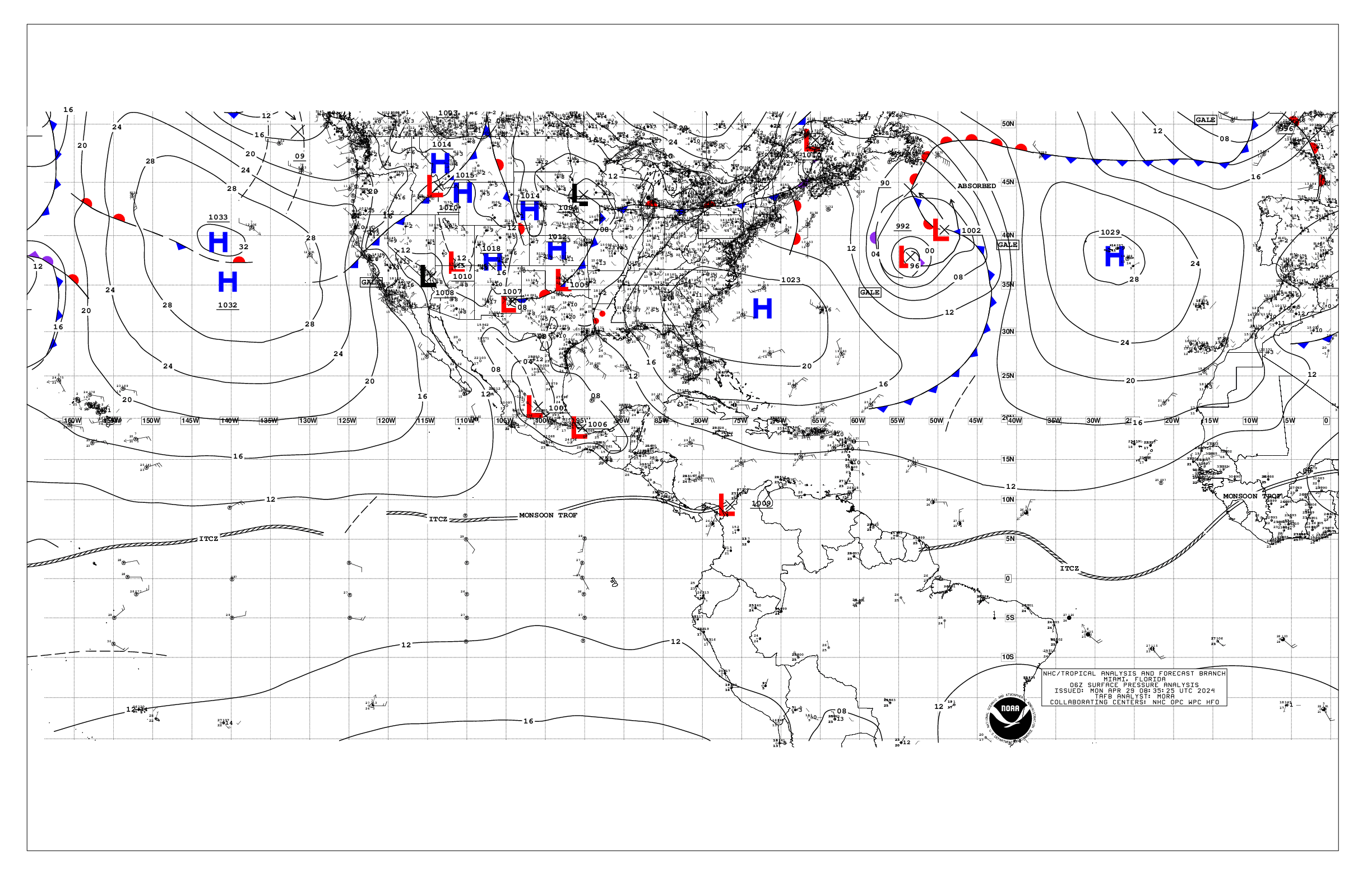
NWS National Hurricane Center Miami FL
1205 UTC Sat Jun 1 2024
Tropical Weather Discussion for North America, Central America
Gulf of Mexico, Caribbean Sea, northern sections of South
America, and Atlantic Ocean to the African coast from the
Equator to 31N. The following information is based on satellite
imagery, weather observations, radar and meteorological analysis.
Based on 0600 UTC surface analysis and satellite imagery through
0745 UTC.
...TROPICAL WAVES...
An eastern Atlantic tropical wave is near 32W from 12N southward,
and moving west at 15 kt. Nearby convection is described in the
section below.
A central Atlantic tropical wave is near 52W/53W from 13N
southward, and moving west at 15 kt. Nearby convection is
described in the section below.
A central Caribbean Sea tropical wave is near 76W from 18N
southward, and moving west at 15 to 20 kt. Nearby convection is
described in the section below.
...MONSOON TROUGH/ITCZ...
A monsoon trough enters the Atlantic along the coastal border of
Guinea-Bissau and Senegal, then runs southwestward to 06N20W. An
ITCZ continues westward from 06N20W to 06N31W, then from 05N34W
to 08N48W. Widely scattered moderate convection is seen from 02N
to 10N between 18W and 55W.
The eastern end of the East Pacific monsoon trough is causing
scattered moderate convection at the southwestern Caribbean Sea,
just east of Nicaragua and Costa Rica.
...GULF OF MEXICO...
A modest surface ridge extends southwestward from the Florida Big
Bend Area to near Veracruz, Mexico. A surface trough is
triggering that was supporting widely scattered showers and
thunderstorms over the eastern Gulf has weakened during the past
several hours. Fresh with locally strong E to ESE winds and seas
of 4 to 6 ft are found in the SW Gulf and eastern Gulf. Gentle to
moderate E to SE winds and seas of 2 to 4 ft prevail across the
rest of the Gulf.
For the forecast, a ridge will dominate the Gulf waters through
at least Sun, supporting moderate to fresh SE winds over the
western Gulf and gentle to moderate E to SE winds over the eastern
Gulf. Winds may pulse to moderate to fresh in the eastern Gulf
today as well. Due to local effects, fresh to strong NE to E winds
will pulse near the northern and western portions of the Yucatan
peninsula during the late afternoons and at night through Sun.
Hazy conditions due to agricultural fires over Central America and
Mexico will continue for at least the next couple of days
reducing visibility at times.
...CARIBBEAN SEA...
A pronounced upper-level trough stretches southwestward from
northwest of Bermuda across 31N74W and central Cuba to the Gulf of
Honduras. Divergent flow related to this feature is coupling with
convergent trades to generate scattered showers and isolated
thunderstorms near Jamaica, central and eastern Cuba, and the
Windward Passage. Fresh to strong E winds and seas of 5 to 8 ft
are seen at the central basin. Moderate to fresh E winds and 4 to
6 ft seas are present at the north-central basin. Mostly fresh E
winds with seas at 4 to 6 ft exist at the Gulf of Honduras.
Gentle to moderate ENE to E winds and 2 to 4 ft seas prevail
elsewhere in the Caribbean Sea.
For the forecast, the pressure gradient will increase today as
high pressure N of the area strengthens some. This will lead to
fresh to strong trade winds across the central Caribbean through
early Mon, with seas building to around 9 ft. Winds will diminish
slightly by early next week. Looking ahead, the potential for
heavy rains returns next week across Hispaniola, eastern Cuba,
Jamaica, the Turks and Caicos, and the southeast and central
Bahamas. Localized flooding is possible, especially where the
ground remains very moist from recent heavy rain events.
...ATLANTIC OCEAN...
A pronounced upper-level trough stretches southwestward from
northwest of Bermuda across 31N74W and the Bahamas to beyond
central Cuba. Divergent flow related to this feature is coupling
with convergent southeasterly winds to generate scattered showers
and thunderstorms from 20N to 25N between 63W and the Bahamas,
and from 25N to 31N between 58W and 68W. A weak cold front
extends southwestward from east of Bermuda across 31N63W to
27N72W. Patchy showers are evident near and up to 90 nm northwest
of this boundary. A dissipating stationary front curves westward
from southeast of the Azores across 31N25W to 24N37W, then
continues northwestward as a frontal trough to 28N49W. Widely
scattered moderate convection is occurring up to 60 nm along
either side of these features. Refer to the Monsoon Trough/ITCZ
section for additional convection in the Atlantic Basin.
Moderate to fresh NE winds and seas of 5 to 7 ft are present north
of 27N between 66W and the Florida/Georgia coast, including the
Great Bahama Bank. Otherwise, gentle to moderate NE to SE winds
and 3 to 5 ft seas are found north of 20N between 65W and the
Florida Coast/Bahamas. Near the Canary and Cabo Verde Islands,
moderate to locally fresh N to NE winds and seas at 3 to 5 ft
exist north of 13N between the Africa coast and 25W. For the
tropical Atlantic from 07N to 20N between 24W and the Lesser
Antilles, gentle to moderate E to ESE winds and seas of 4 to 6 ft
dominate. Light to gentle with locally moderate monsoonal and
southerly winds and 4 to 6 ft seas prevail for the remainder of
the Atlantic Basin.
For the forecast W of 55W, a reinforcing frontal boundary will
move eastward across the forecast waters reaching from 31N60W to
the SE Bahamas by later this morning, becoming nearly stationary
along 25N by early Sun. High pressure building in behind the front
will tighten the pressure gradient across the region, bringing
fresh to locally strong winds across waters north of 24N, along
with building seas to around 8 ft E of the Bahamas. Marine
conditions will slightly improve across the forecast area by early
next week.
$$
Lewitsky