ZCZC MIATWOAT ALL
TTAA00 KNHC DDHHMM
Tropical Weather Outlook
NWS National Hurricane Center Miami FL
800 AM EDT Tue Oct 13 2020
For the North Atlantic...Caribbean Sea and the Gulf of Mexico:
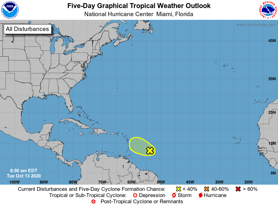
1. Showers and thunderstorms have become a little less organized this
morning in association with a broad area of low pressure located
about 500 miles east of the Windward Islands. Upper-level winds are
gradually becoming less conducive, so only some slight development
is possible today while the system moves westward. By tonight,
upper-level winds are expected to become even less favorable for
tropical cyclone formation to occur.
* Formation chance through 48 hours...low...20 percent.
* Formation chance through 5 days...low...20 percent.
Forecaster Cangialosi