ZCZC MIATWOAT ALL
TTAA00 KNHC DDHHMM
TROPICAL WEATHER OUTLOOK
NWS NATIONAL HURRICANE CENTER MIAMI FL
200 PM EDT WED AUG 10 2016
For the North Atlantic...Caribbean Sea and the Gulf of Mexico:
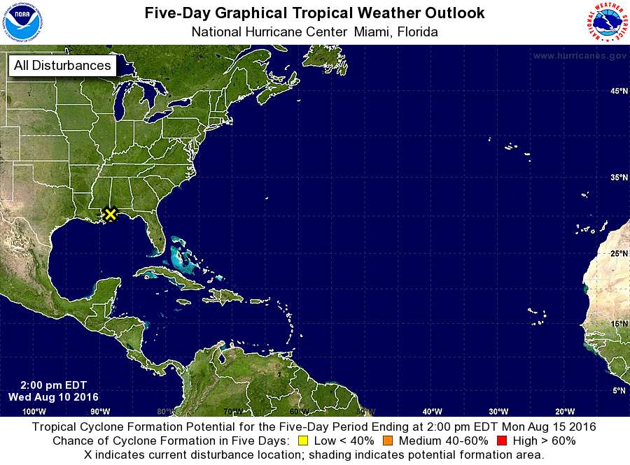
1. A broad area of low pressure located just southwest of Mobile,
Alabama, continues to produce a large area of cloudiness and
disorganized thunderstorms over much of the north-central and
northeastern Gulf of Mexico and adjacent land areas. This system is
forecast to move west-northwestward to northwestward and move inland
by Thursday, with little or no development expected due to
unfavorable upper-level winds and its proximity to land. However,
locally heavy rainfall are possible along portions of the northern
and northeastern coastal areas of the Gulf of Mexico during the next
few days.
* Formation chance through 48 hours...low...near 0 percent
* Formation chance through 5 days...low...near 0 percent
Forecaster Stewart