000
AXPZ20 KNHC 132143
TWDEP

Tropical Weather Discussion
NWS National Hurricane Center Miami FL
2205 UTC Tue Oct 13 2026

Tropical Weather Discussion for the eastern Pacific Ocean from
03.4S to 30N, east of 120W including the Gulf of California, and
from the Equator to 30N, between 120W and 140W. The following
information is based on satellite imagery, weather observations,
radar, and meteorological analysis.

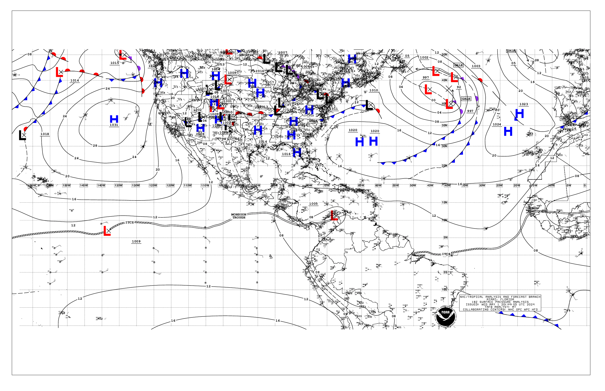
Based on 1800 UTC surface analysis and satellite imagery through
2100 UTC.

...SPECIAL FEATURES...

Hurricane Simon is centered near 20.2N 107.5W at 2100 UTC,
moving west at 2 kt. Estimated minimum central pressure is 977
mb. Maximum sustained wind speed is 80 kt with gusts to 100 kt.
Peak seas are near 20 ft. Numerous moderate to strong convection
is within 30 nm of the center. Scattered to numerous moderate
and isolated strong convection is elsewhere from 18.5N to 21N
between 106.59W and 109W. Simon is very small and located in an
area of weak steering currents. Simon is expected to move S to SW
during the next 24-36 hours, and then after 48 hours, begin a
northward motion. Simon could approach the coast of western
Mexico this weekend. Interests in west-central Mexico and Baja
California Sur should continue to closely monitor the latest
updates to Simon's forecast. Changes to watches and warnings
could be required tonight or Wed based on the latest forecast
trends. Associated heavy rainfall will produce life- threatening
flooding and mudslides or worsen any on- going flooding,
especially in areas of steep terrain. Swells generated by Simon
will affect portions of the coast of southwestern and west-
central Mexico during the next few days, as well as the southern
Gulf of California. These swells are likely to cause large and
powerful surf and life- threatening rip current conditions.
Please consult products from your local weather office.

Tropical Depression Twenty-One-E has strengthened to Tropical
Storm Trudy. At 2100 UTC Trudy was located near 10.6N 96.5W,
moving northwest at 7 kt. Estimated minimum central pressure is
1005 mb. Maximum sustained wind is 35 kt with gusts to 45 kt,
occurring only in the NE Quadrant. Peak seas are estimated at 13
ft across the N semicircle. Scattered to numerous moderate to
strong convection is occurring from 09N to 14.5N between 92W and
100W. A west- northwestward to northwestward motion should
continue over the next 36 hours, then a decrease in forward speed
and turn toward the north-northwest is expected after 48 hours.
Extremely favorable oceanic and atmospheric conditions are
forecast for at least the next 3 to 4 days, and steady to rapid
strengthening is forecast, with a major hurricane possible by
Sat. Trudy could potentially be very close to the coast of
southwestern and west-central Mexico as a major hurricane late
this week and over the weekend.

Please read the latest HIGH SEAS FORECAST issued by the
National Hurricane Center at website -
https://www.nhc.noaa.gov/text/MIAHSFEP2.shtml and the latest
Simon and T.D. Twenty-One-E NHC Forecast/Advisory and Public
Advisory at www.hurricanes.gov for more details.

...INTERTROPICAL CONVERGENCE ZONE/MONSOON TROUGH...

The monsoon trough extends from 13N77W to 09N83W to 10.5N90W,
then resumes from near 07.5N100W to 05N107W. The ITCZ extends
from 05N107W to 04N122W to beyond 07N140W. Scattered moderate
isolated strong convection is noted from 04.5N to 09N E of 86W,
and from 06N to 08N between 92W and 99W. Scattered moderate to
strong convection is noted from 00.5N to 06N between 102W and
130W and from 05N to 09.5N W of 138W.

...OFFSHORE WATERS WITHIN 250 NM OF MEXICO...

Please see the Special Features section above for information on
Hurricane Simon, and newly upgraded Tropical Storm Trudy.

Aside from conditions associated with Simon, which is small in
size, mainly gentle to moderate winds prevail across the waters
between a dying stationary front extending from central Baja to
20N125W and Puerto Angel. Seas there are 6 to 8 ft in merging Sw
and NW swell. Moderate to locally fresh N to NE winds are within
150 nm N of the front over the Baja offshore waters, with fresh
NW to N winds behind the front in the far northern Gulf of
California. Seas are 7 to 9 ft in NW swell across the Pacific
water behind the front and 3 to 5 ft in the northern Gulf. Gentle
to moderate northerly winds are elsewhere N of the front.
To the east, fresh northerly winds are funneling through the
Gulf of Tehuantepec in response to Tropical Storm Trudy, where
seas are 6 to 7 ft. Fresh to strong N to NE winds occurring on
the periphery of Trudy prevail across the far outer waters S of
Tehuantepec and Oaxaca, where seas are 7 to 10 ft.

For the forecast, Simon will move slowly S to SW through Thu,
reaching near 19.5N 108W Wed night, then begin to move
northward, reaching near 19.8N 107.6W Thu afternoon, near 21.0N
107.8W Thu night, near 22.6N 108.8W Fri afternoon, near 24.4N
110.2W Sat afternoon near Baja, and then inland near 28.8N 111.1W
by Sun afternoon. A stationary front drifting across the
northern waters will gradually dissipate Tonight. Rough seas in
NW swell west of Baja California will gradually diminish through
early Wed. Elsewhere, Tropical Storm Trudy near 10.6N 96.5W at 2
PM, moving NW at 7 kt. A west- northwestward to northwestward
motion should continue over the next 36 hours, then a decrease in
forward speed and turn toward the north-northwest is expected
after 48 hours. Steady to rapid strengthening is forecast, with a
major hurricane offshore of SW or west-central Mexico possible
late Fri through the weekend.

...OFFSHORE WATERS WITHIN 250 NM OF CENTRAL AMERICA, COLOMBIA,
AND WITHIN 750 NM OF ECUADOR...

Easterly gap winds downstream of the Papagayo region have
diminished to moderate today, as newly upgraded Tropical Storm
Trudy is passing S of Tehuantepec 10.6N 96.5W. Fresh to strong
winds and rough seas to 13 ft are found across the NE semicircle
of Trudy, and dominate the outer offshore waters to the
southwest of Guatemala. Scattered to numerous showers and
thunderstorms also prevail across these outer waters S of 14.5N
and W of 92W. Gentle to moderate winds, and moderate seas to 7 ft
in SW swell prevail over the remainder of the offshore waters.
Scattered moderate convection continues across and S of the
waters of Costa Rica, Panama and Colombia E of 85W.

For the forecast, fresh to strong winds and rough seas occurring
S of 13N, and associated with Tropical Storm Trudy well offshore
of Guatemala, will diminish through Wed as Trudy moves further
from the area and intensifies. Otherwise, a weak pressure
gradient will support moderate or lighter winds, and moderate
seas dominated by SW swell across much of the forecast waters
through the end of the week. Scattered showers and thunderstorms
are expected to remain active across the waters E of 85W tonight.

...REMAINDER OF THE AREA...

A dying stationary front extends across the NE waters from
central Baja California Norte to 20N125W. Moderate to fresh N to
NE winds and rough seas of 7 to 10 ft in NW swell cover the
waters N of 20N behind the front. Light to gentle winds and seas
of 6 to 8 ft in merging NW and SW swell generally prevail
elsewhere S of 20N W of 110W, except for moderate SE to S winds
near the equator. Thunderstorms are very active within 180 nm of
the ITCZ W of 108W.

For the forecast, the stationary front will gradually dissipate
tonight. Large SW swell will affect the waters S of the Equator
and west of 105W over the next couple of days, followed by
another pulse of large S-SW swell arriving into the waters W of
100W Wed night.

$$
Stripling


 NHC on Facebook
 NHC on X
 NHC on YouTube
 NHC Blog: