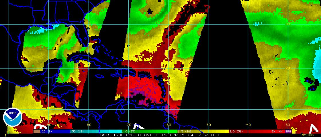
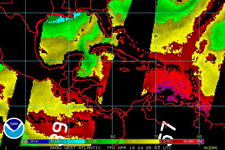
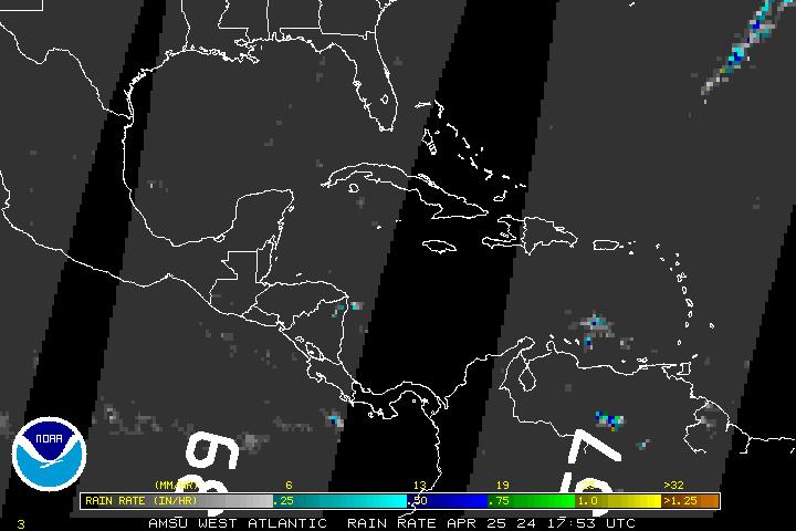
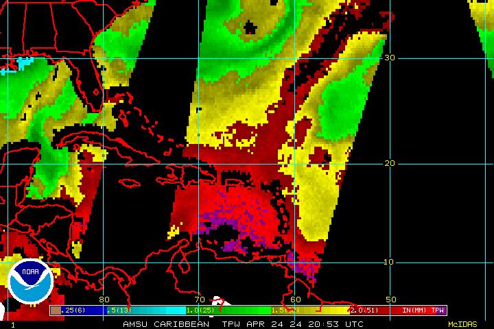
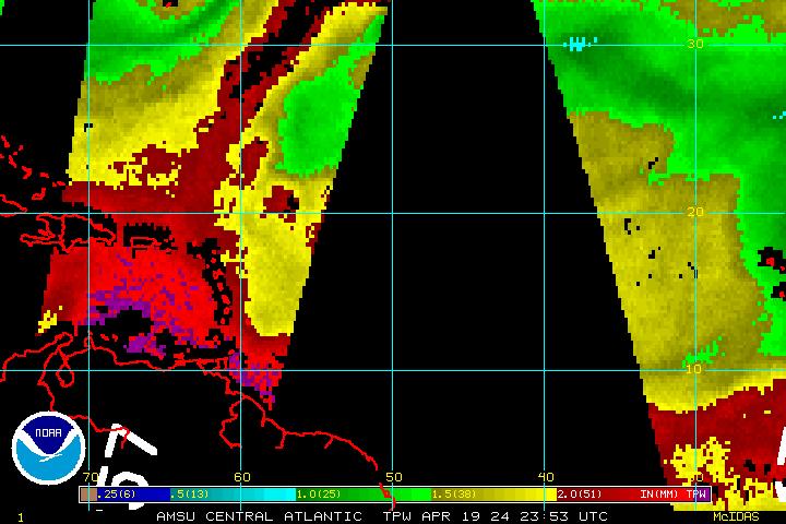
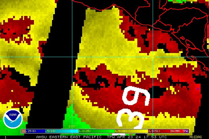
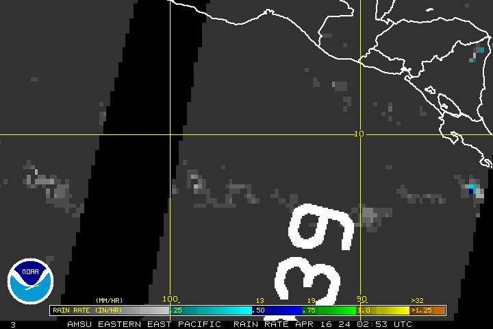
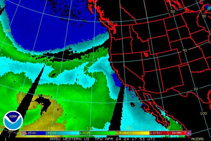
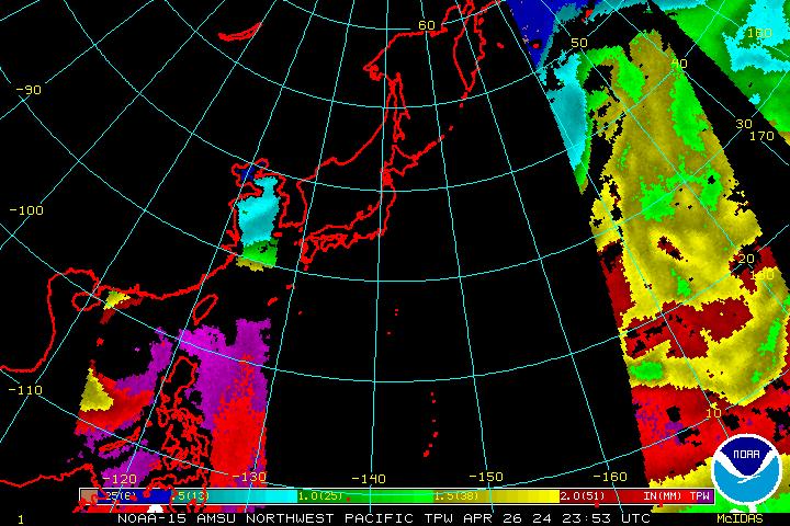
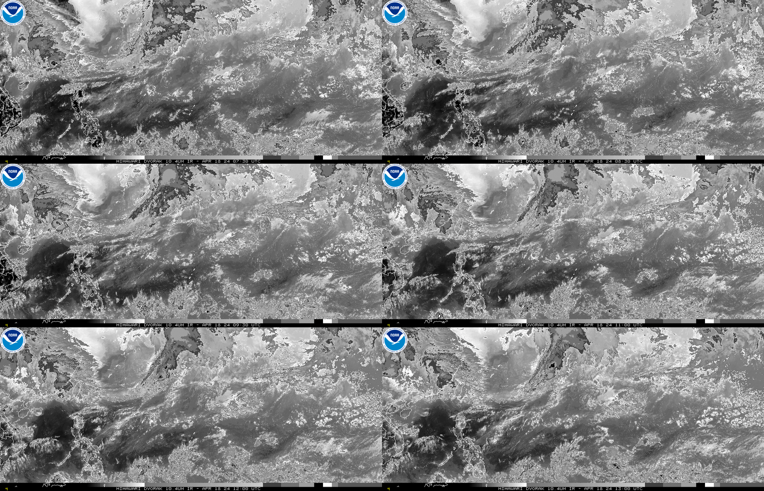
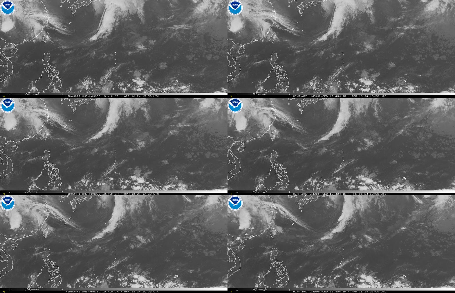
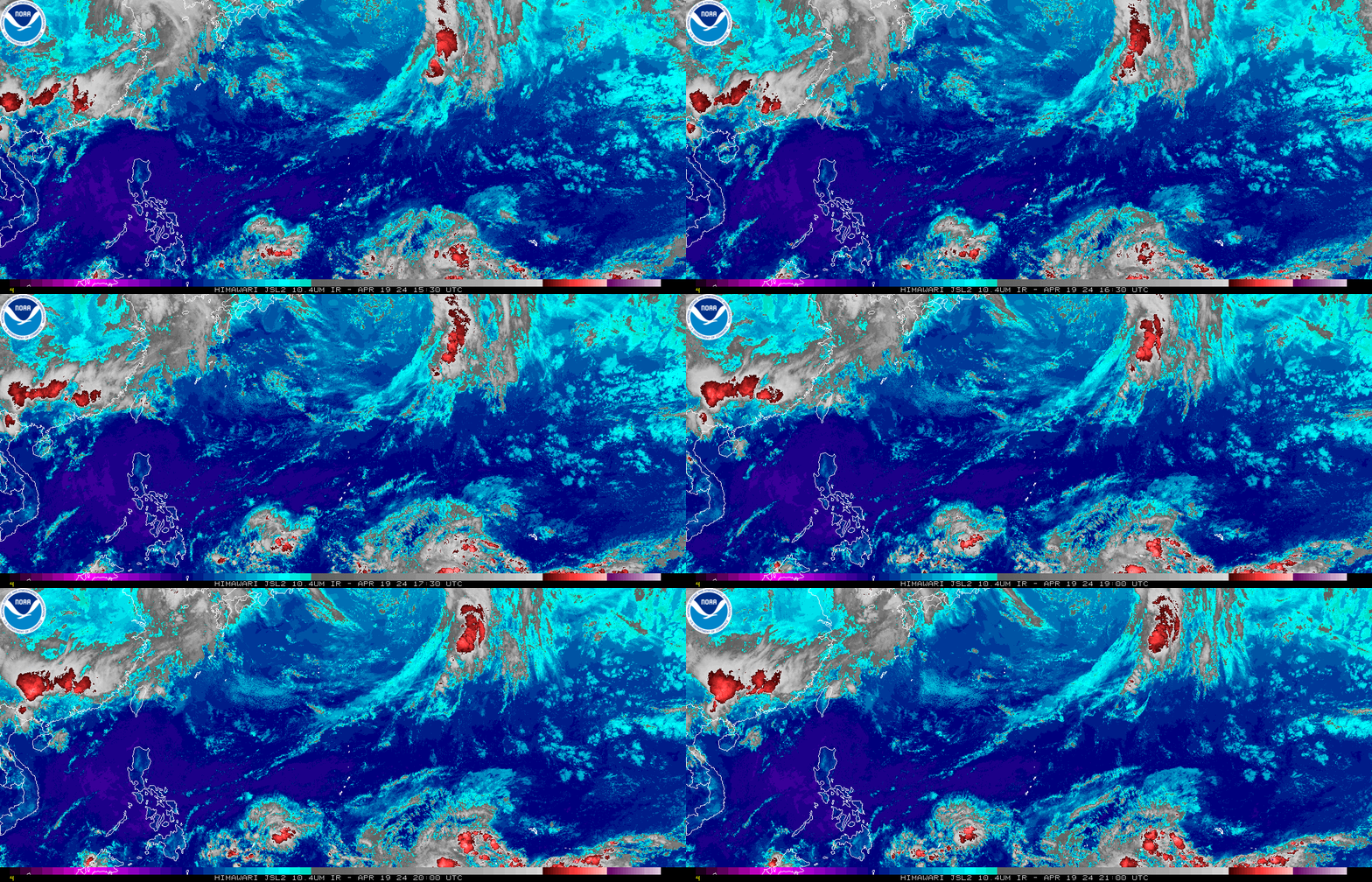
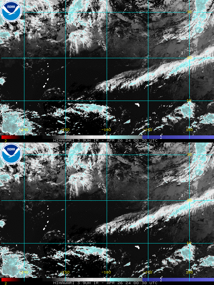
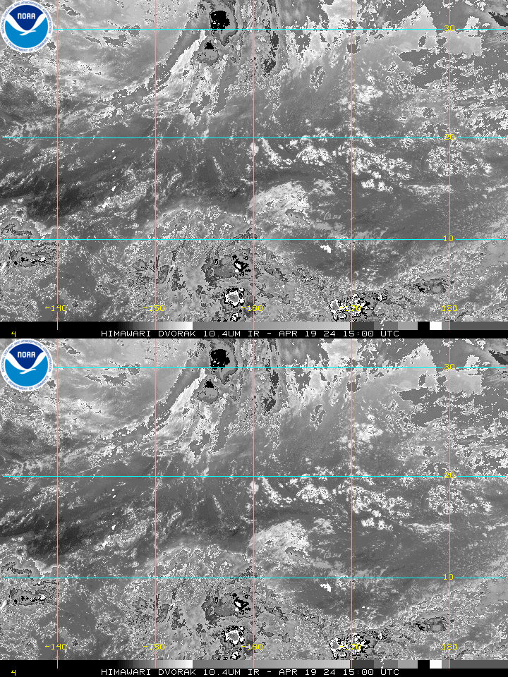
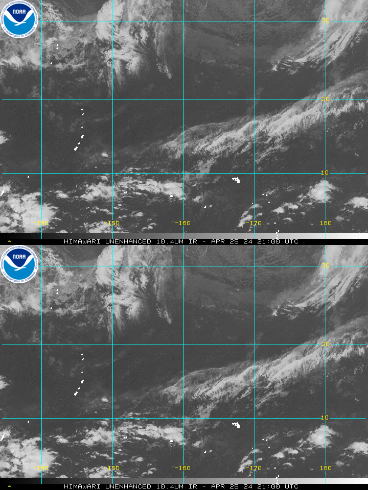
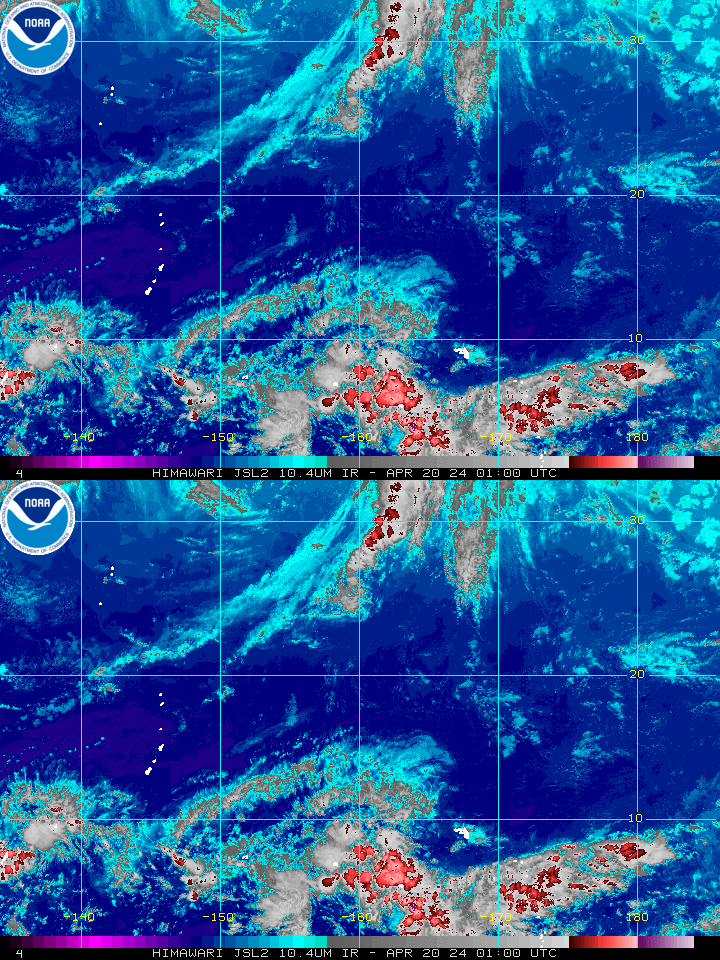
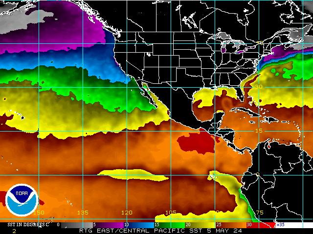
Unless otherwise noted, the images linked from this page are located on servers at the Satellite Products and Services Division (SPSD) of the National Environmental Satellite, Data, and Information Service (NESDIS).
Please direct all questions and comments regarding GOES-E (GOES-16) images to:
- the NESDIS STAR webmaster at NESDIS.STAR.Webmaster@noaa.gov
All other questions can be sent to:
- the NESDIS SPSD at SSDWebmaster@noaa.gov
If you are looking for high resolution, photographic quality satellite imagery of hurricanes and other storms please visit NESDIS.
|
GOES-E Full Disk (Atlantic) GeoColor – Hi-Res – Loop Visible – Hi-Res – Loop Shortwave-IR – Hi-Res – Loop IR – Hi-Res – Loop Water Vapor – Hi-Res – Loop |
East Pacific GeoColor – Loop Visible – Loop Shortwave-IR – Loop IR – Loop Water Vapor – Loop |
US East Coast/Gulf of Mexico GeoColor – Loop Visible – Loop Shortwave-IR – Loop IR – Loop Water Vapor – Loop |
Atlantic ViewsAtlantic Wide ViewGeoColor Image – Loop – Animated GIF Visible Image – Loop – Animated GIF Shortwave-IR Image – Loop – Animated GIF IR Image – Loop – Animated GIF Water Vapor Image – Loop – Animated GIF Gulf of Mexico GeoColor Image – Loop – Animated GIF Visible Image – Loop – Animated GIF Shortwave-IR Image – Loop – Animated GIF IR Image – Loop – Animated GIF Water Vapor Image – Loop – Animated GIF Caribbean GeoColor Image – Loop – Animated GIF Visible Image – Loop – Animated GIF Shortwave-IR Image – Loop – Animated GIF IR Image – Loop – Animated GIF Water Vapor Image – Loop – Animated GIF US Atlantic Coast GeoColor Image – Loop – Animated GIF Visible Image – Loop – Animated GIF Shortwave-IR Image – Loop – Animated GIF IR Image – Loop – Animated GIF Water Vapor Image – Loop – Animated GIF Puerto Rico GeoColor Image – Loop – Animated GIF Visible Image – Loop – Animated GIF Shortwave-IR Image – Loop – Animated GIF IR Image – Loop – Animated GIF Water Vapor Image – Loop – Animated GIF DMSP SSM/IS
Atlantic Wide
|
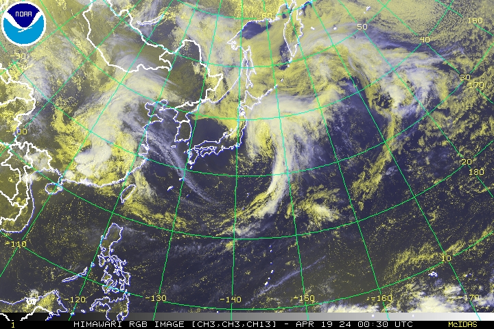
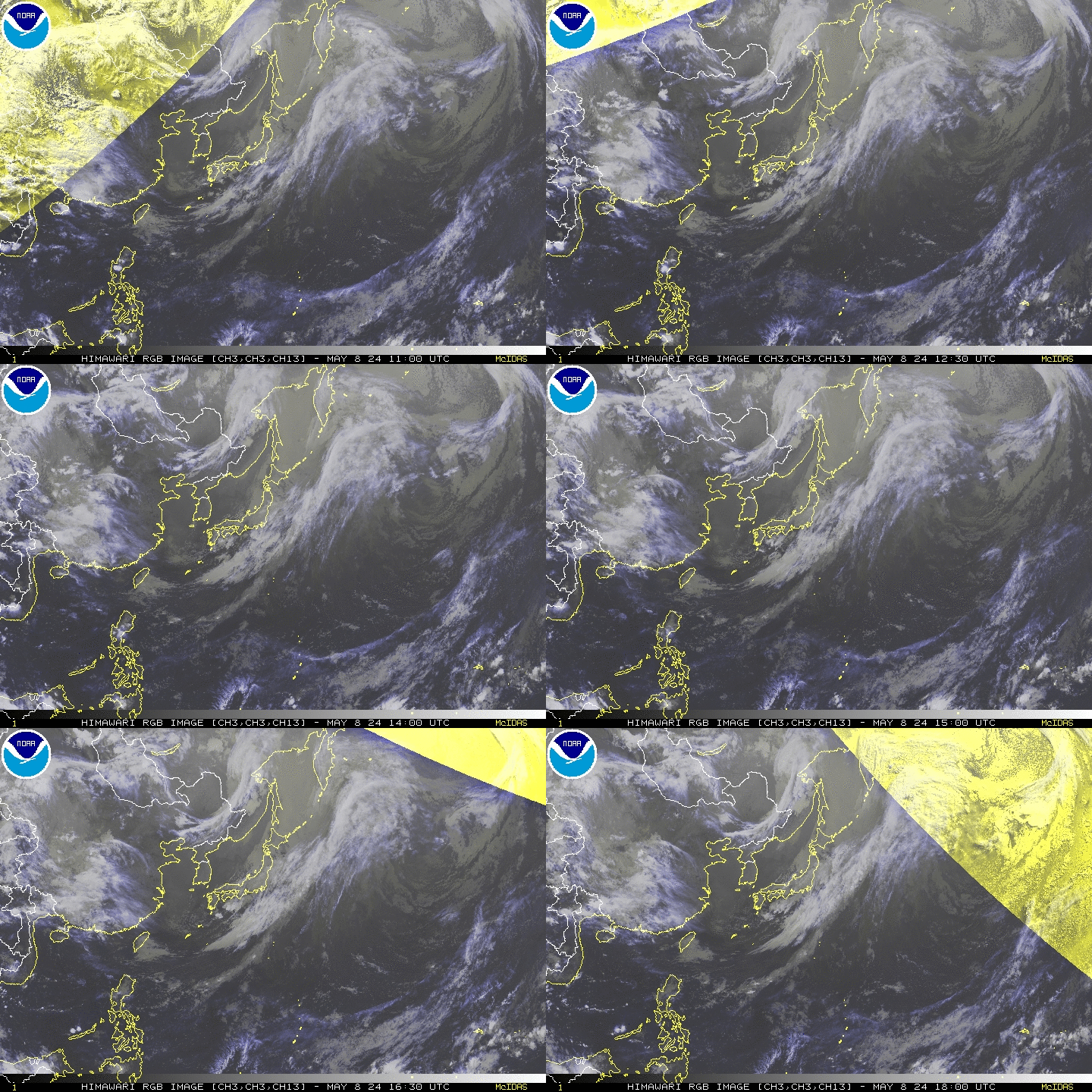
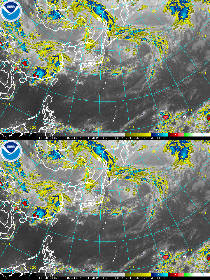
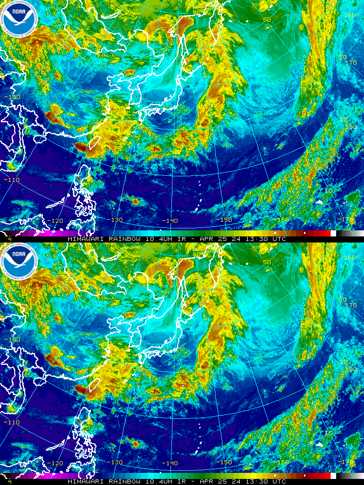
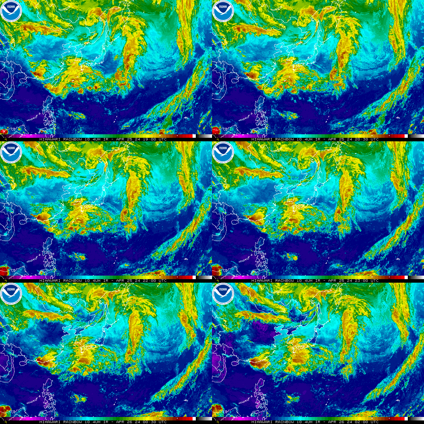
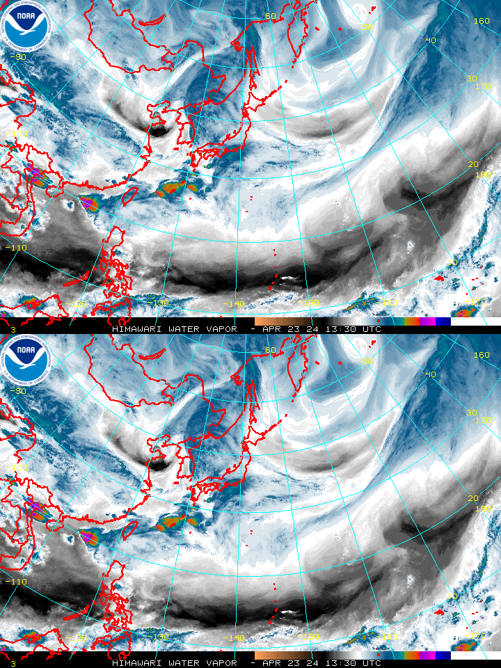
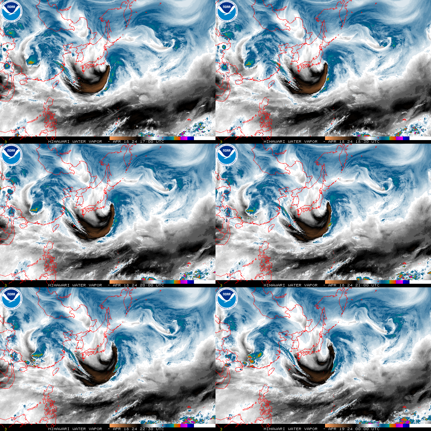
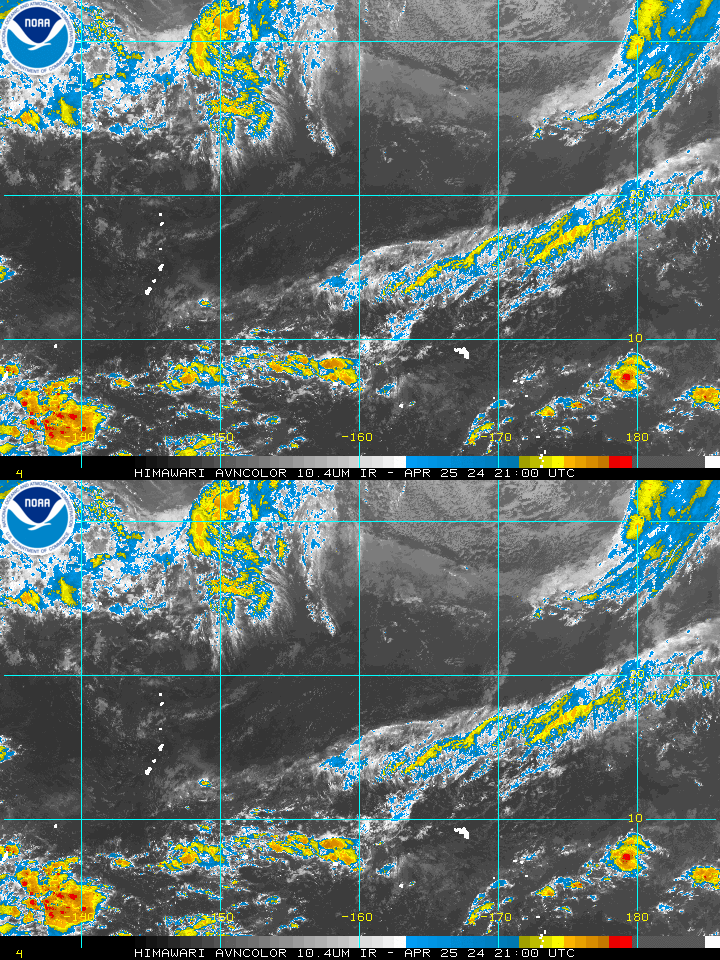
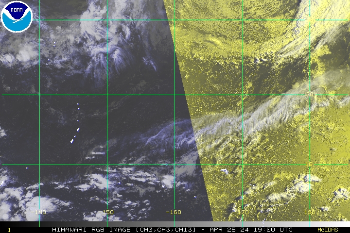
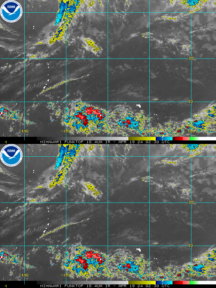
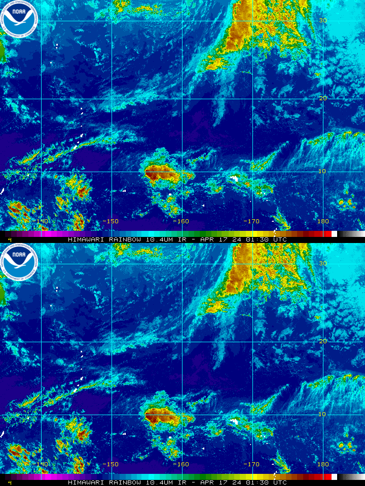
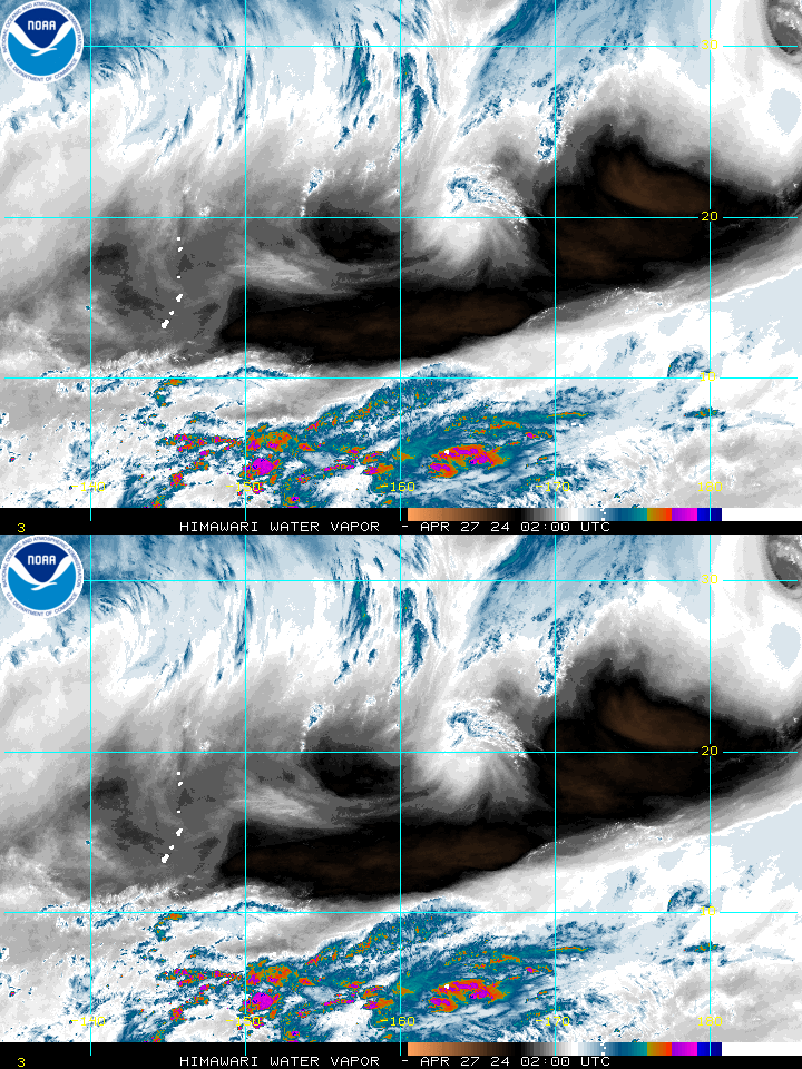
Pacific ViewsEast & Central Pacific Wide ViewGeoColor Image – Loop – Animated GIF Visible Image – Loop – Animated GIF Shortwave-IR Image – Loop – Animated GIF IR Image – Loop – Animated GIF Water Vapor Image – Loop – Animated GIF East Pacific GeoColor Image – Loop – Animated GIF Visible Image – Loop – Animated GIF Shortwave-IR Image – Loop – Animated GIF IR Image – Loop – Animated GIF Water Vapor Image – Loop – Animated GIF Hawaii GeoColor Image – Loop – Animated GIF Visible Image – Loop – Animated GIF Shortwave-IR Image – Loop – Animated GIF IR Image – Loop – Animated GIF Water Vapor Image – Loop – Animated GIF Northeast Pacific GeoColor Image – Loop – Animated GIF Visible Image – Loop – Animated GIF Shortwave-IR Image – Loop – Animated GIF IR Image – Loop – Animated GIF Water Vapor Image – Loop – Animated GIF Western United States GeoColor Image – Loop – Animated GIF Visible Image – Loop – Animated GIF Shortwave-IR Image – Loop – Animated GIF IR Image – Loop – Animated GIF Water Vapor Image – Loop – Animated GIF Himawari-8
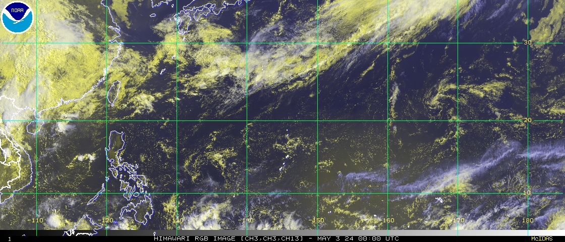
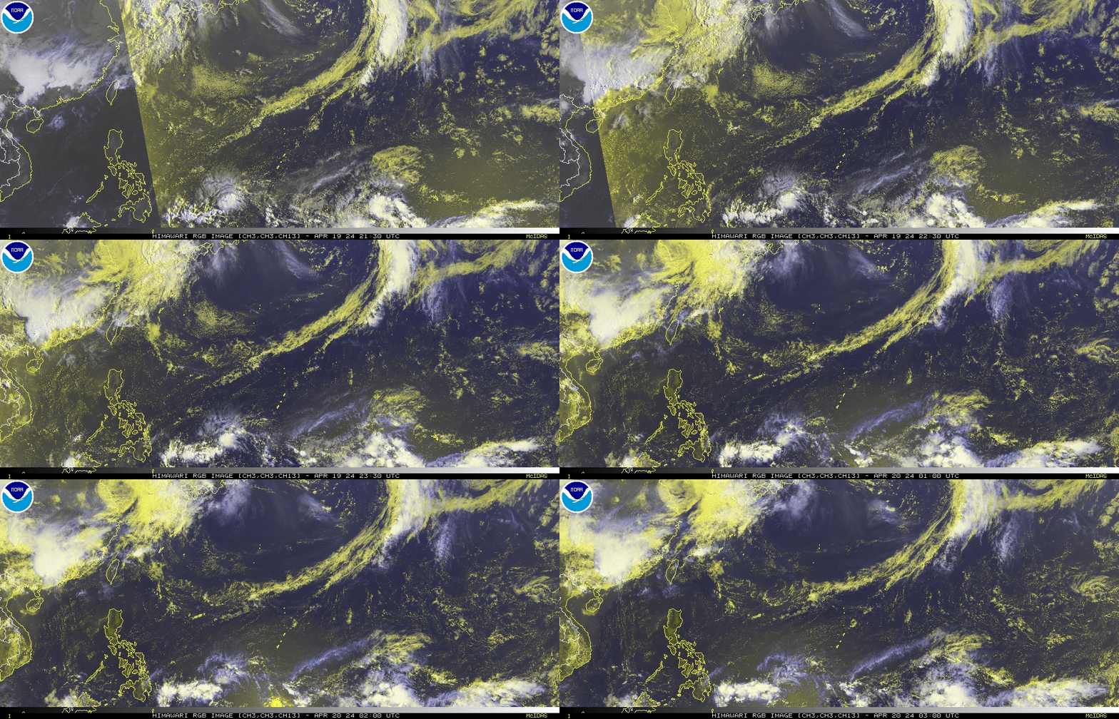
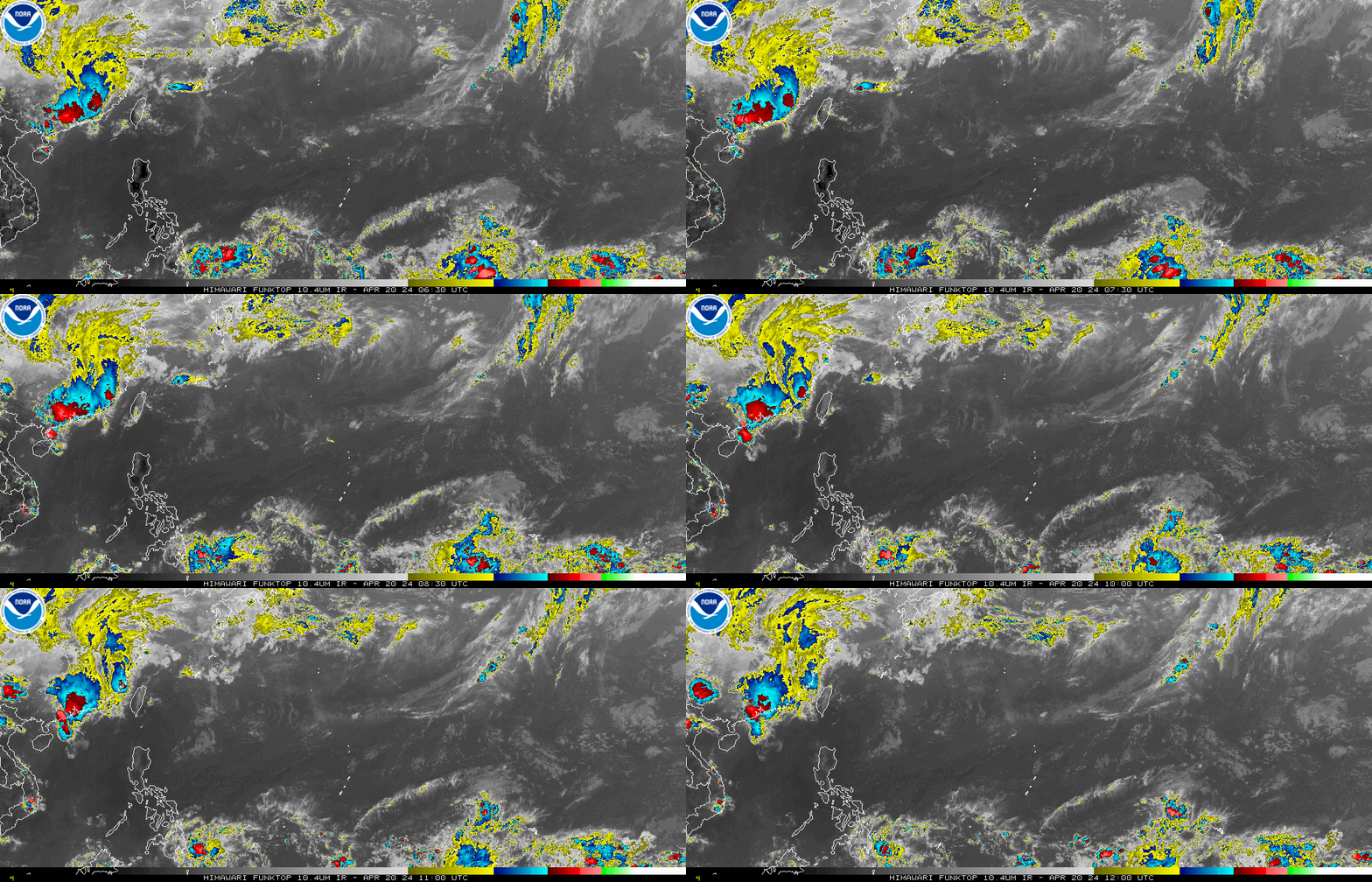
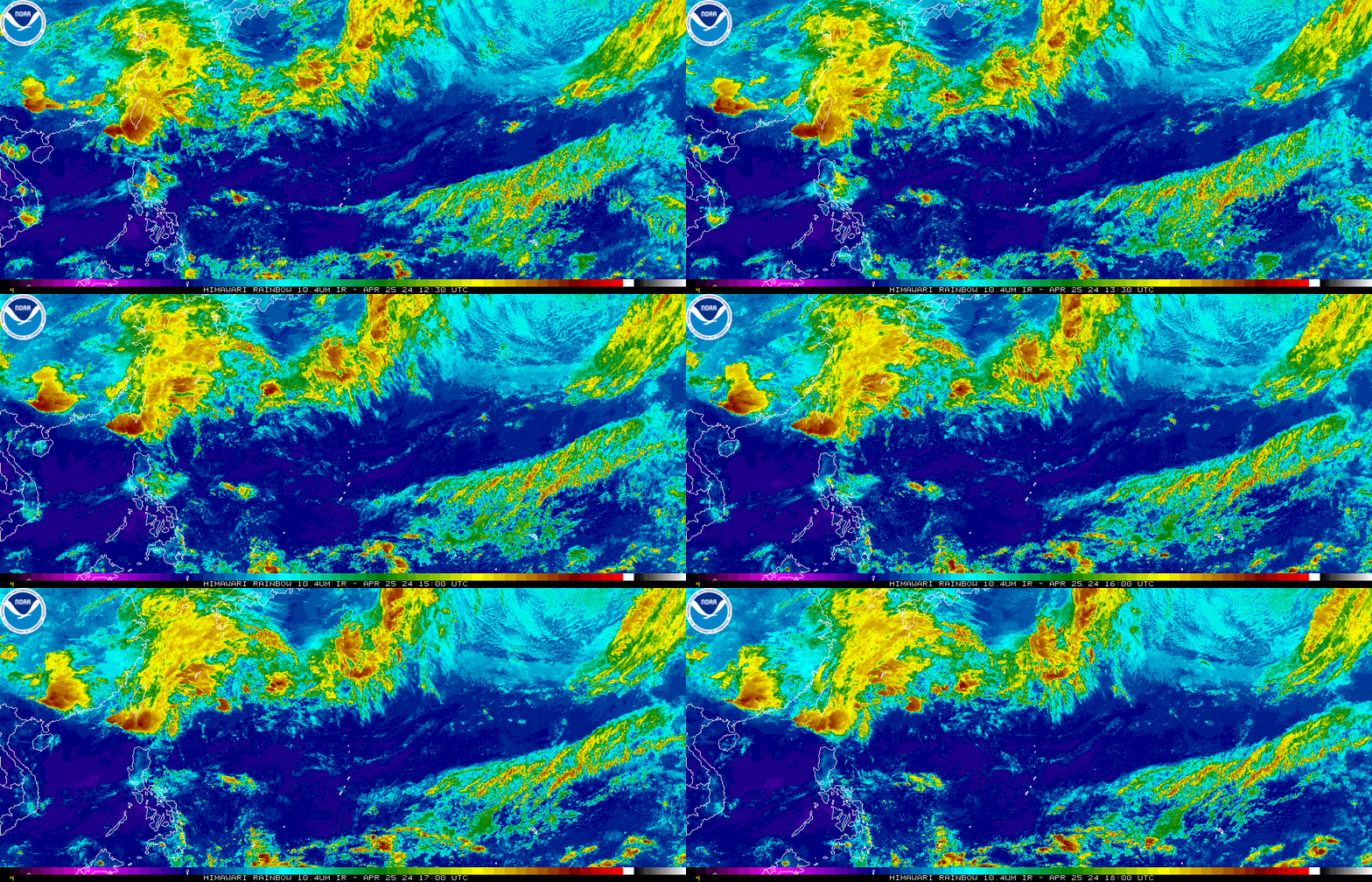
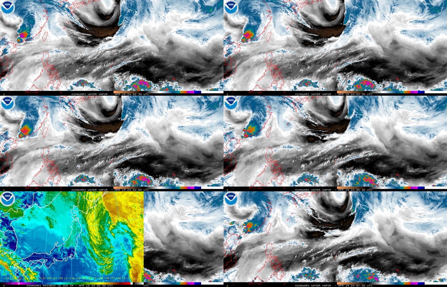
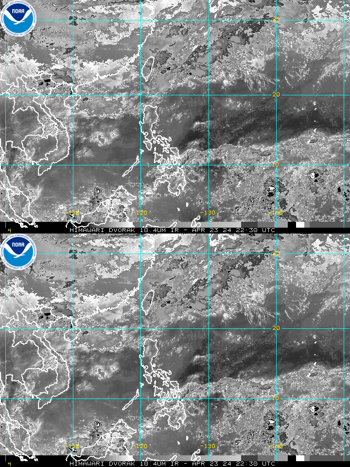
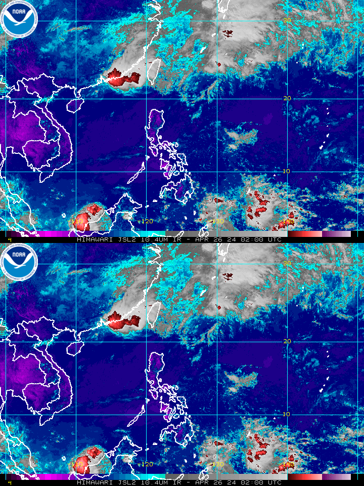
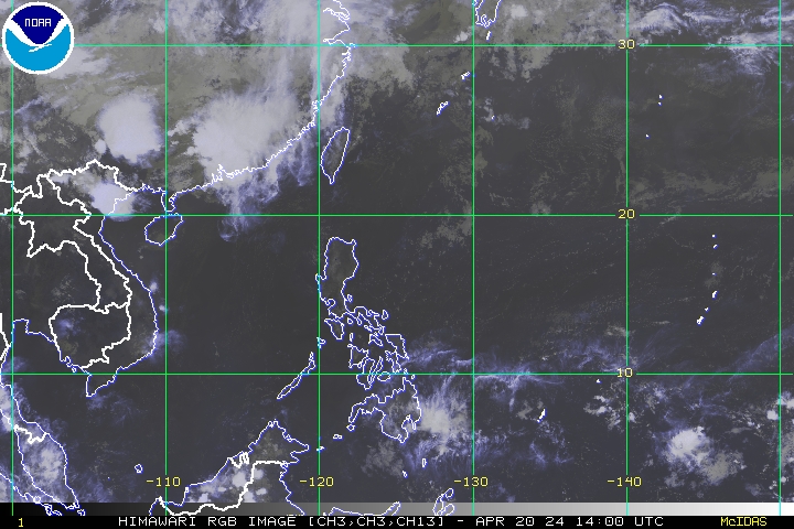
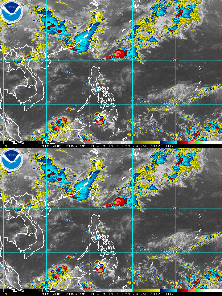
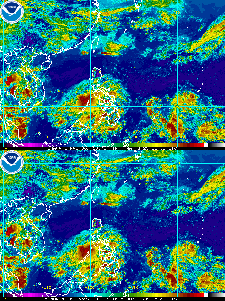
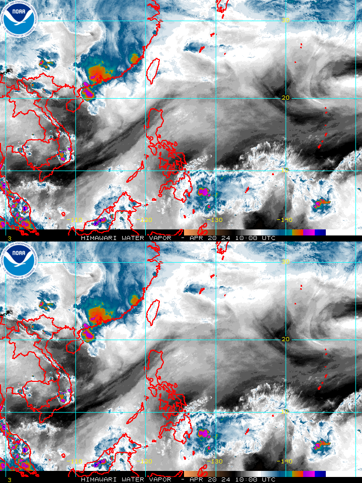
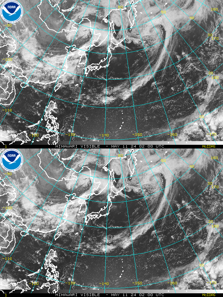
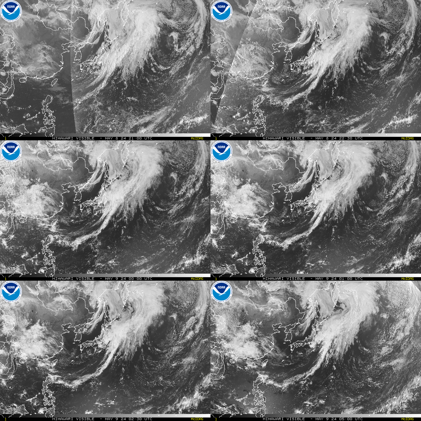
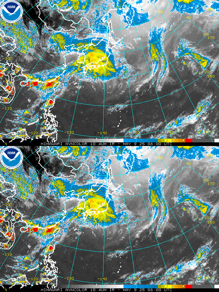
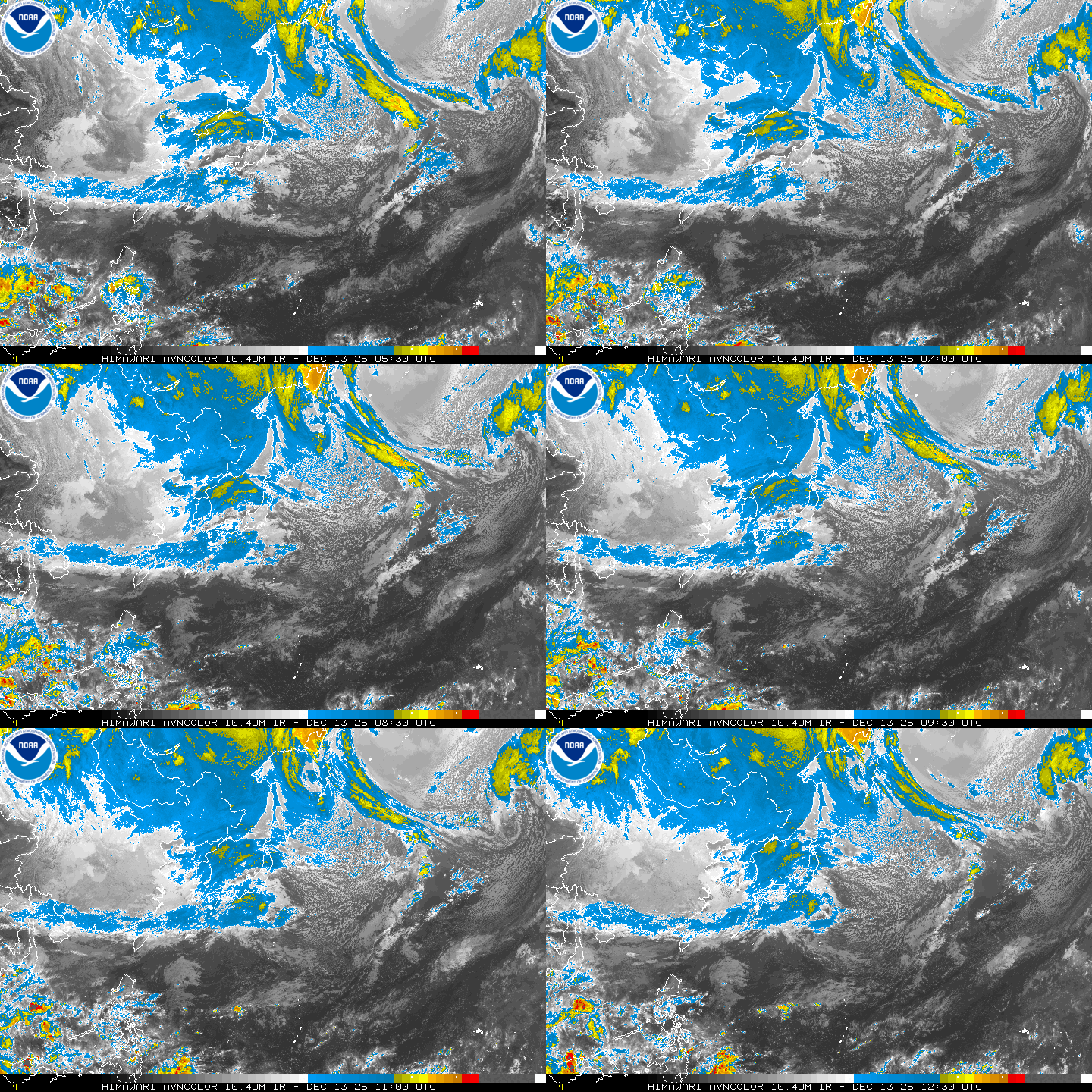
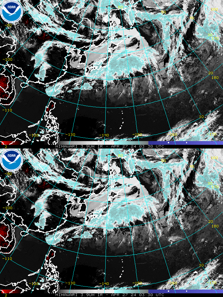
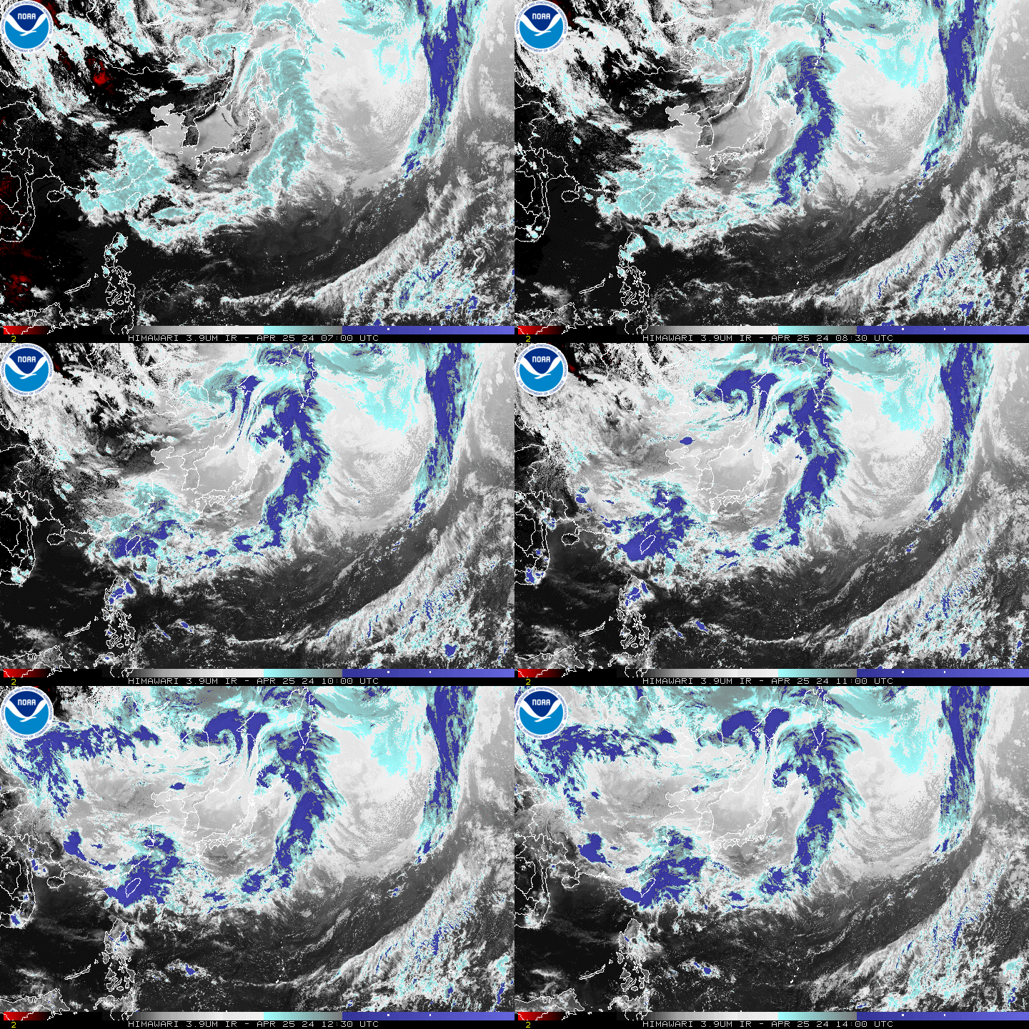
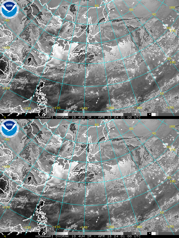
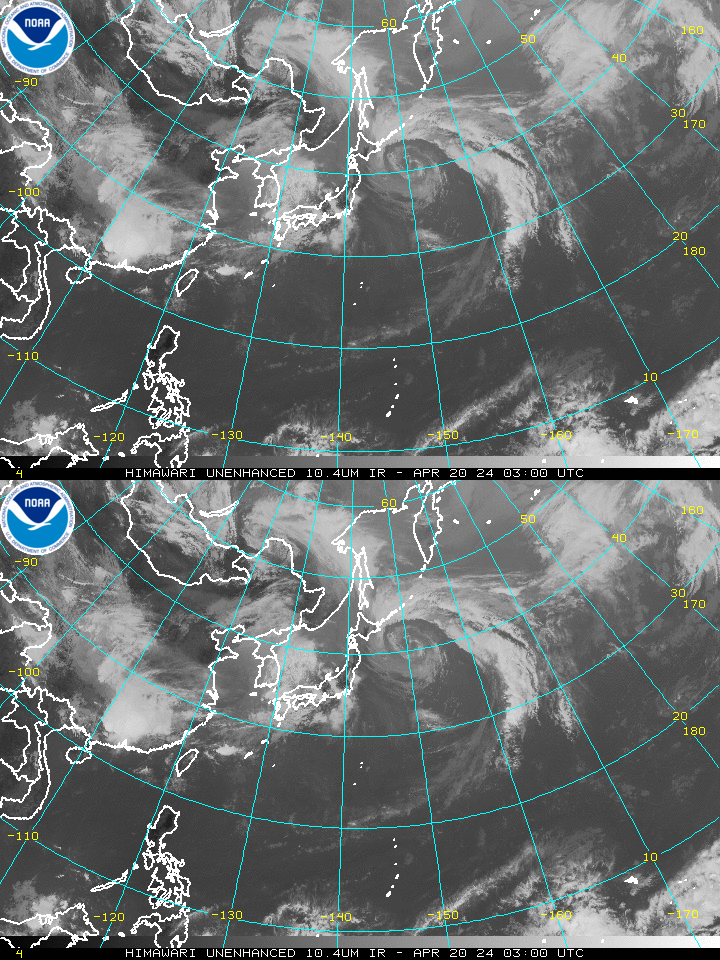
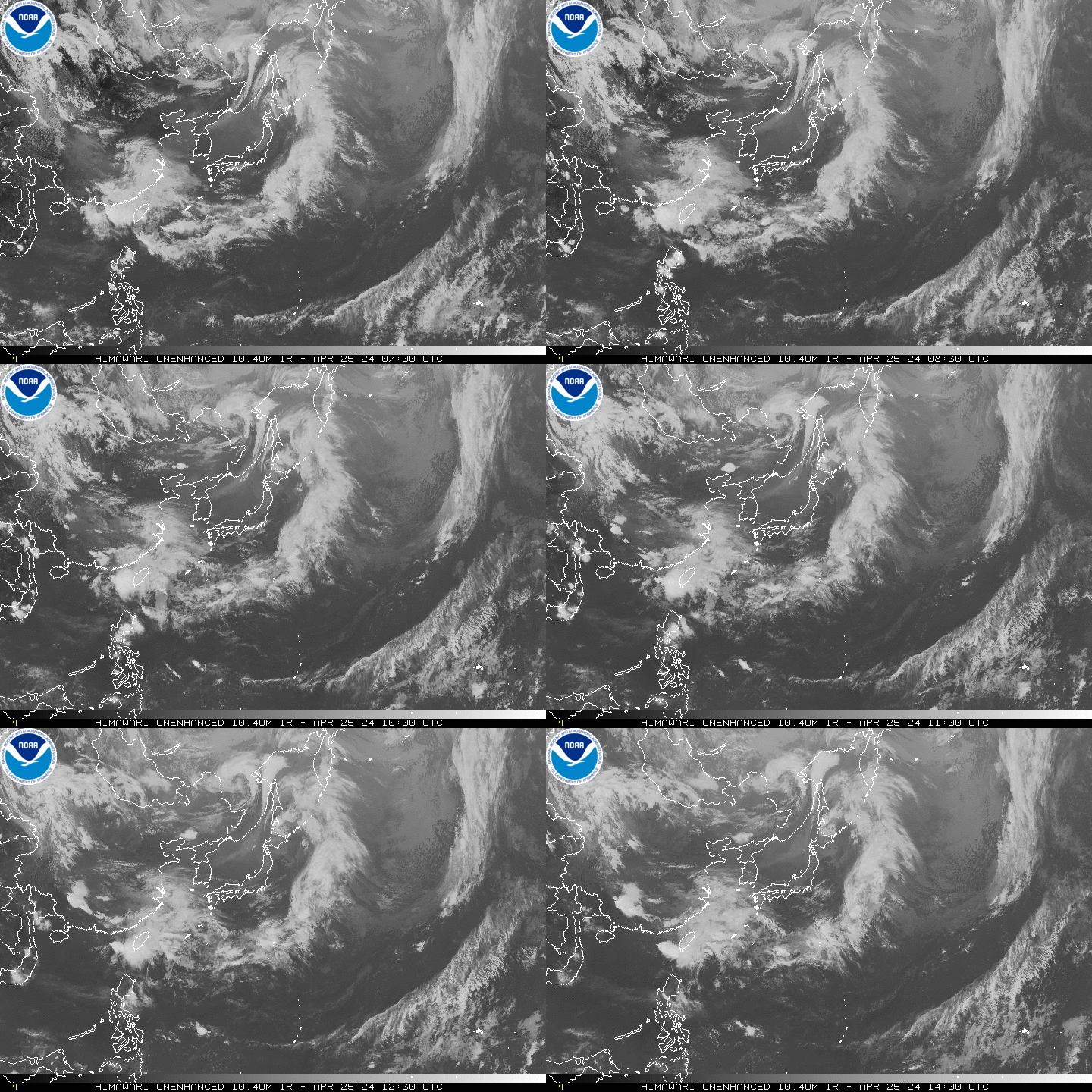
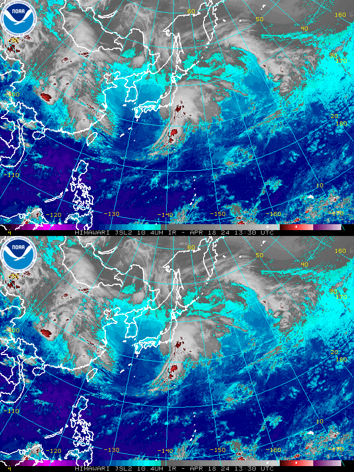
West Pacific Wide View
|
Satellite images courtesy of NESDIS Satellite Services Division (NOAA).
*The Dvorak Technique and Descriptions of the Image Enhancements are available.
If you are experiencing difficulties accessing the images, try these sites:

 NHC on Facebook
 Twitter
 YouTube
 NHC Blog: