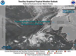
Expand 2-Day GTWO
000
ABPZ20 KNHC 050555
TWOEP
Tropical Weather Outlook
NWS National Hurricane Center Miami FL
1100 PM PDT Fri Jul 4 2025
For the eastern and central North Pacific east of 180 longitude:
Central East Pacific (EP96):
Satellite-derived wind data indicate that a large area of
disorganized showers and thunderstorms is associated with a trough
of low pressure located a few hundred miles south of southwestern
Mexico. Gradual development of this system is anticipated during the
next few days, and a tropical depression is expected to form late
this weekend or early next week while it moves generally
west-northwestward well off the coast of Mexico.
* Formation chance through 48 hours...medium...60 percent.
* Formation chance through 7 days...high...90 percent.
South of Southwestern Mexico:
An area of low pressure could form several hundred miles offshore of
southwestern Mexico late next week. Some gradual development of this
system is possible thereafter while it moves generally
west-northwestward.
* Formation chance through 48 hours...low...near 0 percent.
* Formation chance through 7 days...low...20 percent.
$$
Forecaster Gibbs/Roberts