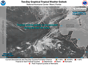
Expand 2-Day GTWO
452
ABPZ20 KNHC 071120
TWOEP
Tropical Weather Outlook
NWS National Hurricane Center Miami FL
500 AM PDT Mon Jul 7 2025
For the eastern and central North Pacific east of 180 longitude:
Central East Pacific (EP96):
Disorganized showers and thunderstorms associated with an area of
low pressure located several hundred miles south-southwest of the
southern tip of the Baja California peninsula continue this morning.
Some additional development is possible today, but the system is
quickly running out of time as it moves west-northwestward into a
more stable environment, with drier mid-level air and progressively
cooler waters expected by tonight.
* Formation chance through 48 hours...low...20 percent.
* Formation chance through 7 days...low...20 percent.
South of Southwestern Mexico:
An area of low pressure could form several hundred miles offshore of
southwestern Mexico late this week. Some gradual development of this
system is possible thereafter while it moves generally
west-northwestward well off the coast of Mexico.
* Formation chance through 48 hours...low...near 0 percent.
* Formation chance through 7 days...low...20 percent.
$$
Forecaster Gibbs/Kelly