Home

Atlantic 2-Day GTWO
Expand 2-Day GTWO

Atlantic 5-Day GTWO
Expand 5-Day GTWO


000
ABNT20 KNHC 161502
TWOAT

Special Tropical Weather Outlook
NWS National Hurricane Center Miami FL
1005 AM EST Mon Jan 16 2023

For the North Atlantic...Caribbean Sea and the Gulf of Mexico:

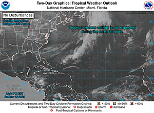
Special Tropical Weather Outlook issued to discuss the potential for subtropical development over the northwest Atlantic.

Northwestern Atlantic: A non-tropical low pressure system centered over the northwestern Atlantic Ocean about 300 miles north of Bermuda is producing storm-force winds. Although the cyclone is producing some thunderstorm activity near the center, it is embedded in a cold air mass with nearby frontal boundaries. The low is expected to move northeastward today and northward tonight, bringing the system over much colder waters and across Atlantic Canada by early Tuesday. Therefore, it is unlikely that the low will transition to a subtropical or tropical cyclone. Nevertheless, the system is expected to remain a strong non-tropical low during the next day or so, and additional information, including storm-force wind warnings, can be found in High Seas Forecasts issued by the National Weather Service.

No additional Special Tropical Weather Outlooks are scheduled for this system. Regularly scheduled Tropical Weather Outlooks will resume on May 15, 2023, while Special Tropical Weather Outlooks will be issued as necessary during the off-season. * Formation chance through 48 hours...low...near 0 percent. * Formation chance through 5 days...low...near 0 percent.

&& High Seas Forecasts issued by the National Weather Service can be found under AWIPS header NFDHSFAT1, WMO header FZNT01 KWBC, and online at ocean.weather.gov/shtml/NFDHSFAT1.php

$$ Forecaster Cangialosi

Home