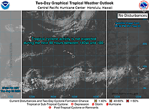
Expand 2-Day GTWO
877
ACPN50 PHFO 260542
TWOCP
Tropical Weather Outlook
NWS Central Pacific Hurricane Center Honolulu HI
Issued by NWS National Hurricane Center Miami FL
800 PM HST Fri Jul 25 2025
For the central North Pacific...between 140W and 180W:
Eastern portion of Central Pacific (CP90):
Showers and thunderstorms associated with a broad area of low
pressure located around 1100 miles southeast of the Hawaiian Islands
have decreased since earlier today. Some gradual development of this
system is possible, and a tropical depression could form this
weekend or early next week as it moves generally westward at 10 to
15 mph across the Central Pacific basin.
* Formation chance through 48 hours...medium...50 percent.
* Formation chance through 7 days...medium...60 percent.
Western East Pacific:
An area of low pressure is forecast to develop over 1500 miles
east-southeast of the Hawaiian Islands during the next day or two.
Some gradual development is possible thereafter, as the system moves
generally westward around 10 mph.
* Formation chance through 48 hours...low...10 percent.
* Formation chance through 7 days...low...20 percent.
$$
Forecaster Jelsema
NNNN