


https://www.hurricanes.gov/marine/forecast
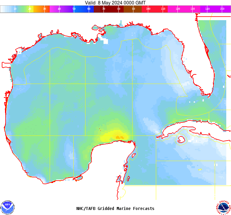
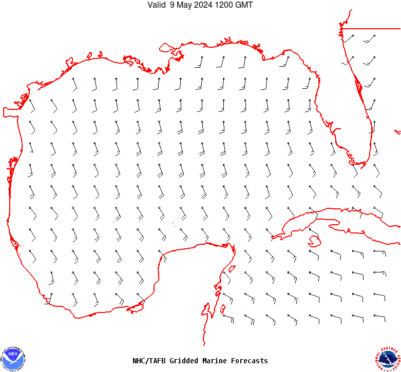
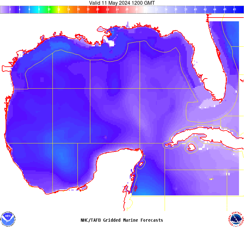
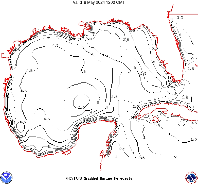
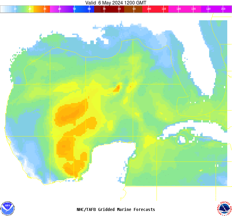
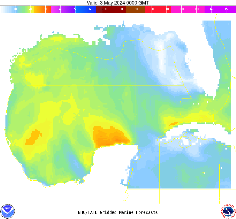
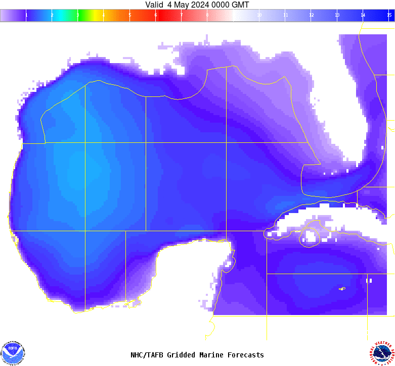
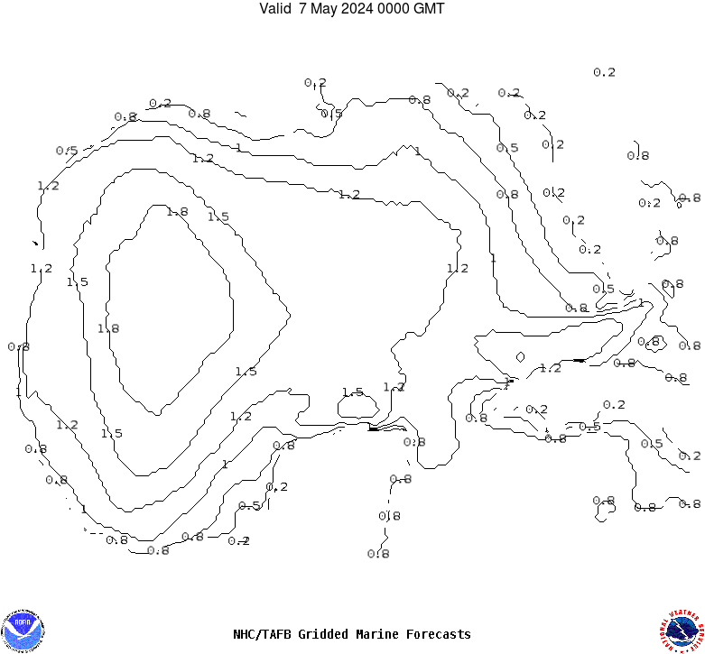
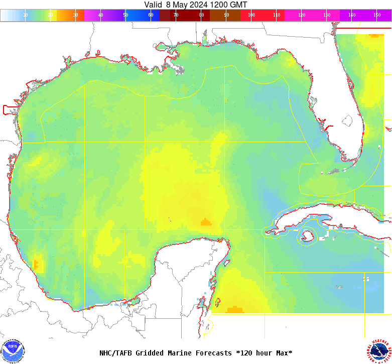
GMZ001-240200- Synopsis for the Gulf of Mexico 959 AM EDT Tue Apr 23 2024 .SYNOPSIS...A dissipating stationary front extending from the Straits of Florida through 24N84W will wash out later today. High pressure will build in the wake of the front, supporting mainly gentle to moderate E winds in the NE half of the Gulf, and moderate to fresh SE winds in the SW half of the Gulf through Thu. The pressure gradient will further tighten over the Gulf by the end of the week, increasing E to SE winds to fresh to strong across the whole basin. |