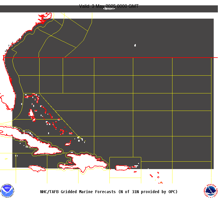
AMZ101-241400-
Synopsis for the SW N Atlantic including the Bahamas
946 PM EDT Tue Apr 23 2024
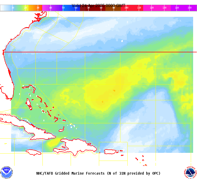
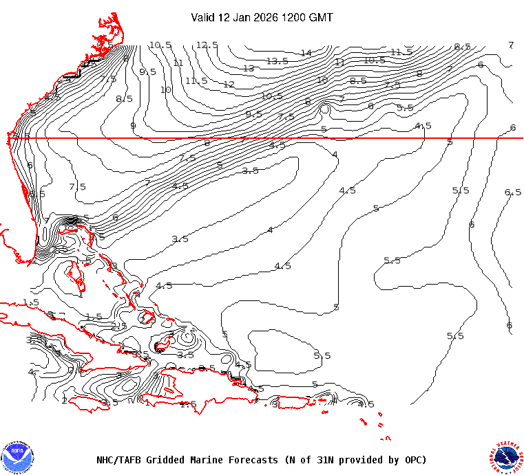
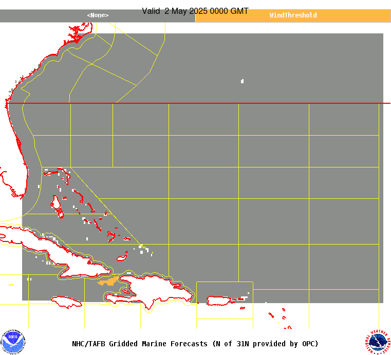
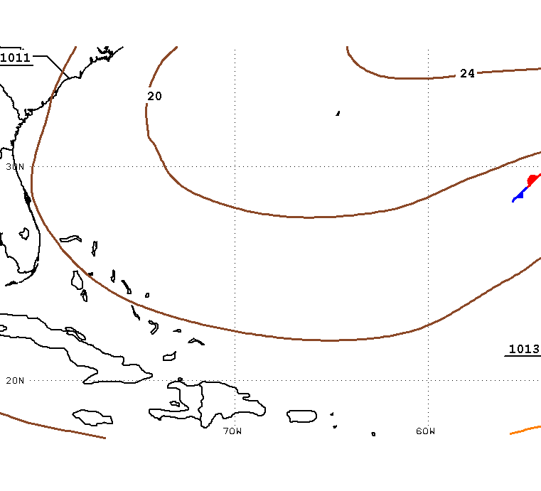
.SYNOPSIS...A cold front extends from 31N62W to 24N72W, then
continues as a dissipating stationary front to near the N-central
coast of Cuba. The front will reach from 31N59W to the Turks and
Caicos Islands Wed evening where it will stall and dissipate to a
remnant trough. Associated northerly swell of 8 ft or greater will
subside by Wed evening. Tranquil conditions are forecast Thu and
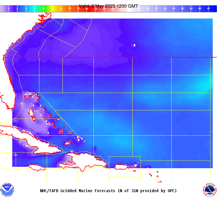
Thu night. Looking ahead, a new cold front will merge with the
trough and progress eastward, reaching 31N57W to E Cuba on Sat
morning, and then 25N55W to Hispaniola on Sun morning. Swell will
push S of 31N with the front, resulting in building seas. A
strengthening Bermuda High should cause widespread fresh to
strong N to E winds W of the front beginning Fri evening through
Sun night.