ZCZC MIATWOEP ALL
TTAA00 KNHC DDHHMM
Tropical Weather Outlook
NWS National Hurricane Center Miami FL
500 PM PDT Wed Oct 19 2022
For the eastern North Pacific...east of 140 degrees west longitude:
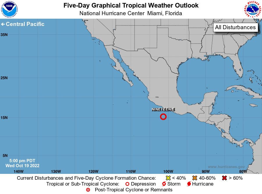
1. Offshore of Southwestern Mexico:
Shower and thunderstorm activity has increased and become better
organized in association with a low pressure area located a couple
of hundred miles offshore of the southwestern coast of Mexico. In
addition, the low's circulation continues to become better defined.
If these trends continue, a tropical depression is likely to form
later tonight or early Thursday as the system moves generally
west-northwestward, parallel to the southwestern coast of Mexico.
Interests along the southwestern and west-central coasts of Mexico
should monitor the progress of this system. Additional information
on this system, including gale warnings, can be found in High Seas
Forecasts issued by the National Weather Service.
* Formation chance through 48 hours...high...near 100 percent.
* Formation chance through 5 days...high...near 100 percent.
High Seas Forecasts issued by the National Weather Service
can be found under AWIPS header NFDHSFEPI, WMO header FZPN02
KWBC, and on the web at ocean.weather.gov/shtml/NFDHSFEPI.php
Forecaster Reinhart