ZCZC MIATWOEP ALL
TTAA00 KNHC DDHHMM
Tropical Weather Outlook
NWS National Hurricane Center Miami FL
1100 PM PDT Wed Sep 28 2022
For the eastern North Pacific...east of 140 degrees west longitude:
Active Systems:
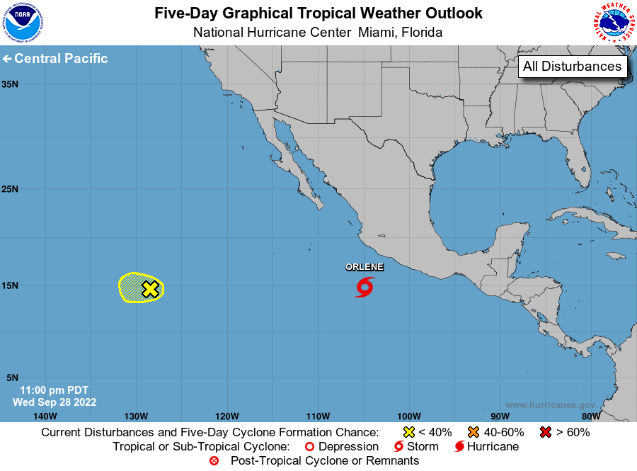
The National Hurricane Center is issuing advisories on recently
formed Tropical Depression Sixteen-E, located a few hundred miles
south of Manzanillo, Mexico.
1. Western East Pacific:
The remnants of Newton are located about 1,300 miles west-southwest
of the southern tip of the Baja California peninsula. Disorganized
shower and thunderstorm activity associated with the low remains
limited, and environmental conditions are becoming less favorable
for additional development. The system is expected to move slowly
westward over the far western portion of the eastern North Pacific
over the next couple of days.
* Formation chance through 48 hours...low...20 percent.
* Formation chance through 5 days...low...20 percent.
Public Advisories on Tropical Depression Sixteen-E are issued under
WMO header WTPZ31 KNHC and under AWIPS header MIATCPEP1.
Forecast/Advisories on Tropical Depression Sixteen-E are issued
under WMO header WTPZ21 KNHC and under AWIPS header MIATCMEP1.
Forecaster Latto