ZCZC MIATWOEP ALL
TTAA00 KNHC DDHHMM
Tropical Weather Outlook
NWS National Hurricane Center Miami FL
500 PM PDT Sun Sep 25 2022
For the eastern North Pacific...east of 140 degrees west longitude:
Active Systems:
The National Hurricane Center has issued its last advisory on
Post-Tropical Cyclone Newton, located several hundred miles
west-southwest of the southern tip of the Baja California peninsula.
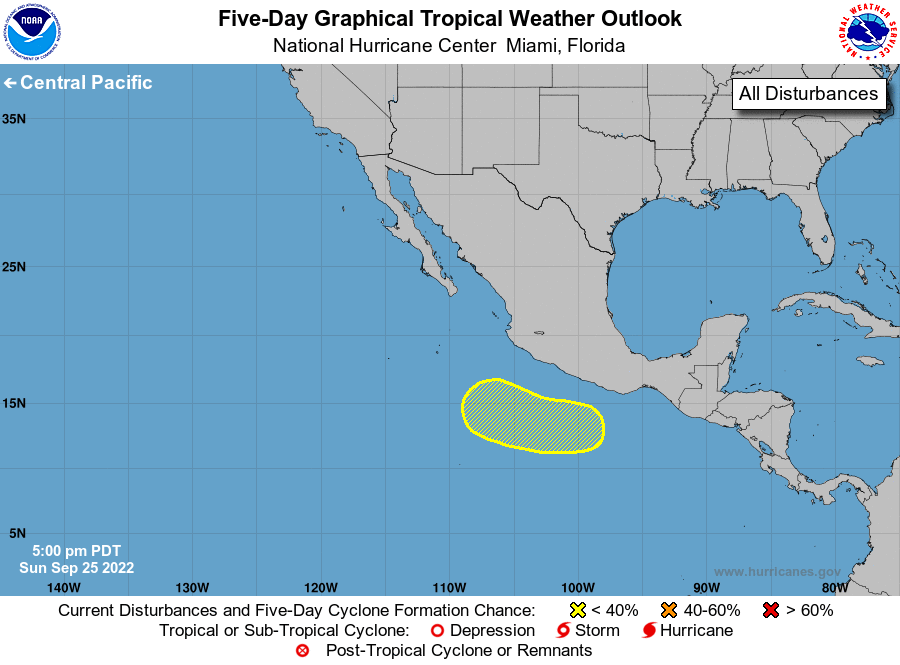
1. South of the Southern Coast of Mexico:
An area of low pressure is forecast to develop south of the
southern coast of Mexico in a few days. Environmental conditions
are expected to be conducive for some slow development while the
disturbance moves generally westward to west-northwestward through
the end of the week.
* Formation chance through 48 hours...low...near 0 percent.
* Formation chance through 5 days...low...20 percent.
Forecaster D. Zelinsky