ZCZC MIATWOEP ALL
TTAA00 KNHC DDHHMM
Tropical Weather Outlook
NWS National Hurricane Center Miami FL
1100 PM PDT Fri Sep 9 2022
For the eastern North Pacific...east of 140 degrees west longitude:
Active Systems:
The National Hurricane Center has issued the last advisory on
Post-Tropical Cyclone Kay, located about 150 miles southwest of San
Diego, California.
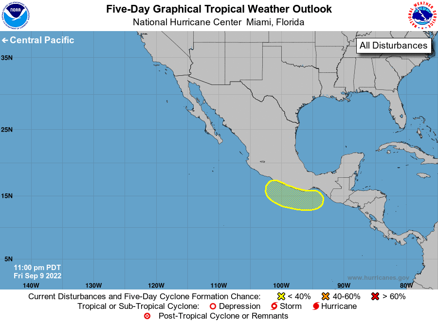
1. Near the Coast of Southern Mexico:
A broad area of low pressure is likely to form near the coast of
southern Mexico during the next few days. Environmental conditions
are expected to be conducive for some development of this system
next week while it moves slowly westward near the coast of southern
and southwestern Mexico.
* Formation chance through 48 hours...low...near 0 percent.
* Formation chance through 5 days...low...30 percent.
Forecaster Berg