ZCZC MIATWOEP ALL
TTAA00 KNHC DDHHMM
Tropical Weather Outlook
NWS National Hurricane Center Miami FL
500 AM PDT Sun Aug 21 2022
For the eastern North Pacific...east of 140 degrees west longitude:
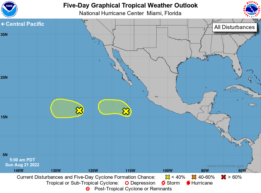
1. Central East Pacific:
A small area of low pressure located a few hundred miles south of
the southern tip of the Baja California peninsula is producing
disorganized showers and thunderstorms. Some slow development of
this system is possible over the next couple of days as it moves
northwestward then westward, well offshore of the coast of Mexico.
By midweek, cooler waters and dry air should end the chance for any
further development.
* Formation chance through 48 hours...low...20 percent.
* Formation chance through 5 days...low...20 percent.
2. Western East Pacific:
An area of low pressure associated with the remnants of Ivette
continues to produce disorganized showers and thunderstorms. Some
slow development of this system is possible over the next day or so
as it moves generally westward, well east-southeast of the Hawaiian
Islands. After that time, environmental conditions are expected to
become unfavorable for further development.
* Formation chance through 48 hours...low...20 percent.
* Formation chance through 5 days...low...20 percent.
Forecaster Latto