ZCZC MIATWOEP ALL
TTAA00 KNHC DDHHMM
Tropical Weather Outlook
NWS National Hurricane Center Miami FL
1100 AM PDT Sat Aug 13 2022
For the eastern North Pacific...east of 140 degrees west longitude:
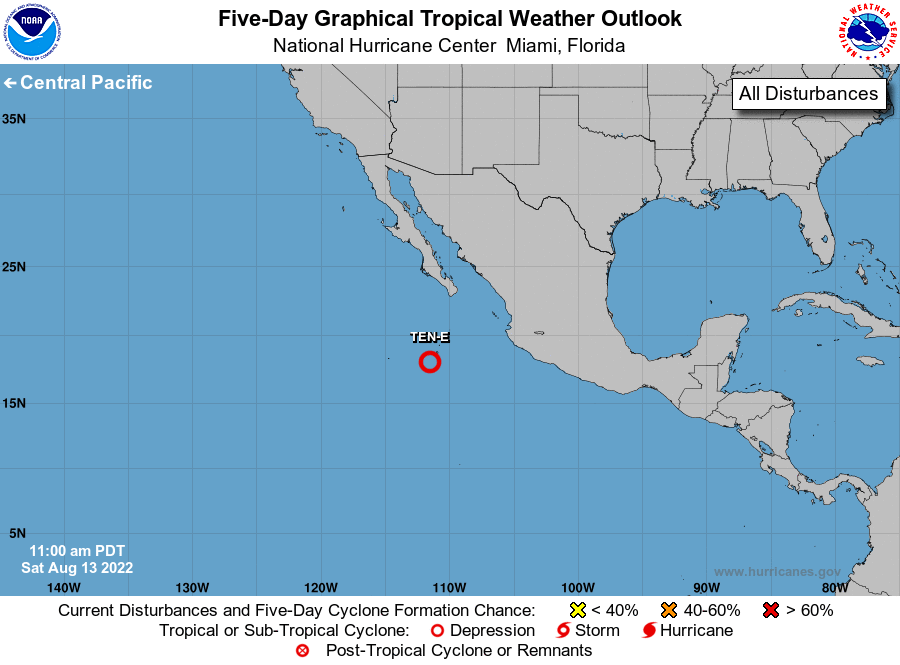
1. Offshore of Southwestern Mexico:
Showers and thunderstorms continue to show signs of organization
in association with an area of low pressure located a few hundred
miles south-southwest of the southern tip of the Baja California
peninsula. If this activity were to continue, a short-lived
tropical depression could form later today or this evening while the
system moves west-northwestward to northwestward at 10 to 15 mph.
By Sunday, upper-level winds are forecast to strengthen over the
system, and further development is not expected.
* Formation chance through 48 hours...high...70 percent.
* Formation chance through 5 days...high...70 percent.
Forecaster Bucci/Brown