ZCZC MIATWOEP ALL
TTAA00 KNHC DDHHMM
Tropical Weather Outlook
NWS National Hurricane Center Miami FL
1100 PM PDT Sat Aug 6 2022
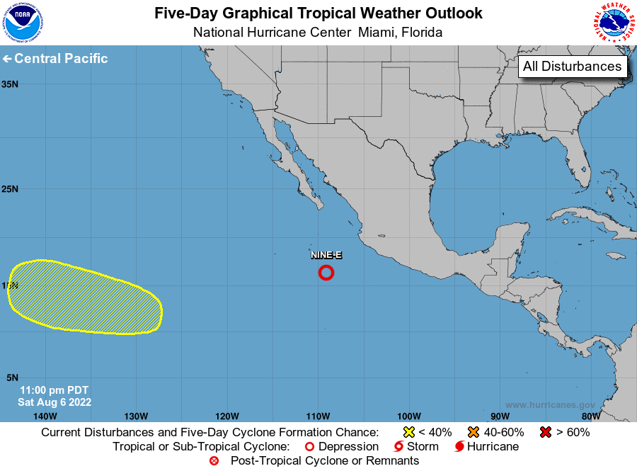
For the eastern North Pacific...east of 140 degrees west longitude:
Active Systems:
The National Hurricane Center is issuing advisories on Tropical
Depression Nine-E, located a few hundred miles southwest of
Manzanillo, Mexico.
1. Well East-Southeast of the Hawaiian Islands:
An area of low pressure could form several hundred miles
east-southeast of the Hawaiian Islands within the next day or two.
Some gradual development of this system is possible thereafter while
it moves westward toward the central Pacific basin.
* Formation chance through 48 hours...low...near 0 percent.
* Formation chance through 5 days...low... 20 percent.
Public Advisories on Tropical Depression Nine-E are issued under
WMO header WTPZ34 KNHC and under AWIPS header MIATCPEP4.
Forecast/Advisories on Tropical Depression Nine-E are issued under
WMO header WTPZ24 KNHC and under AWIPS header MIATCMEP4.
Forecaster Bucci/Brown