ZCZC MIATWOEP ALL
TTAA00 KNHC DDHHMM
Tropical Weather Outlook
NWS National Hurricane Center Miami FL
500 AM PDT Thu Jun 30 2022
For the eastern North Pacific...east of 140 degrees west longitude:
Active Systems:
The National Hurricane Center is issuing advisories on Atlantic
basin Potential Tropical Cyclone Two, currently located over the
southwestern Caribbean Sea. The system is forecast to cross Central
America and move into the east Pacific basin, as a tropical cyclone,
over the weekend.
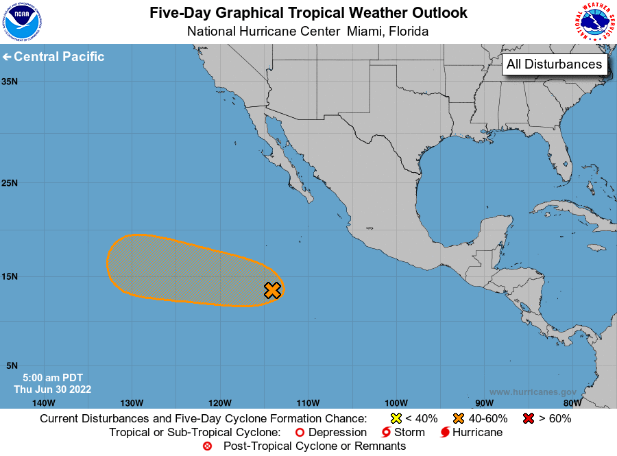
1. Offshore of Southern Mexico:
Showers and thunderstorms located several hundred miles
south-southwest of the southern tip of the Baja California peninsula
continue to show some signs of organization. However, overnight
satellite-derived wind data indicate that this system lacks a
well-defined circulation. A tropical depression could still form
during the next day or two as the disturbance moves to the
west-northwest at 10 to 15 mph, before it reaches cooler waters on
Saturday.
* Formation chance through 48 hours...medium...60 percent.
* Formation chance through 5 days...medium...60 percent.
Forecaster Hagen/D. Zelinsky