ZCZC MIATWOEP ALL
TTAA00 KNHC DDHHMM
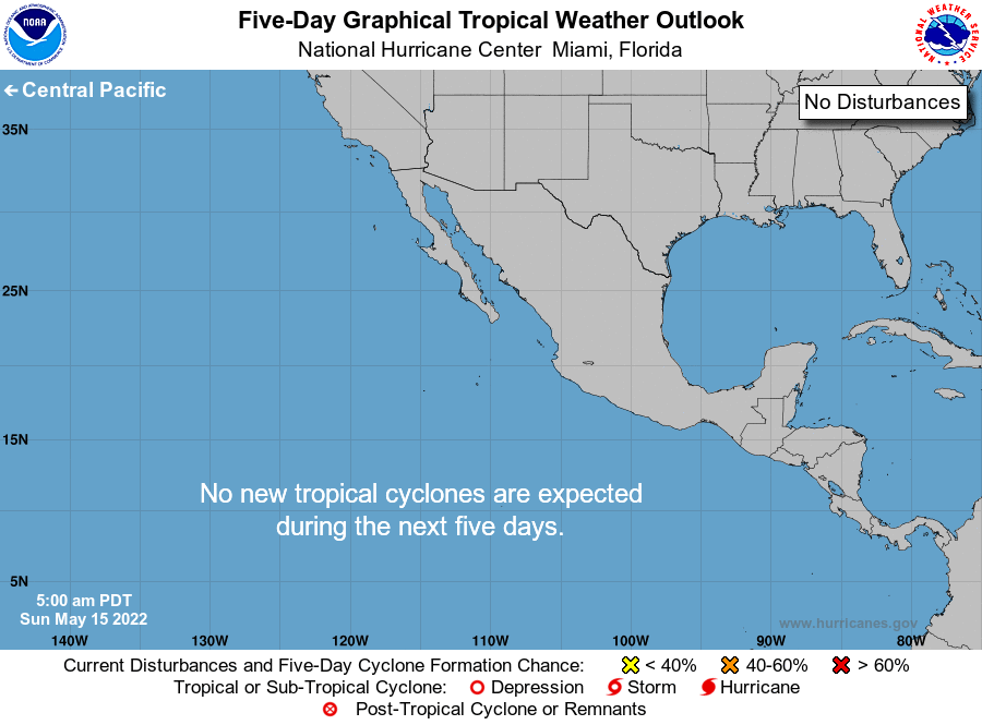
Tropical Weather Outlook
NWS National Hurricane Center Miami FL
500 AM PDT Sun May 15 2022
For the eastern North Pacific...east of 140 degrees west longitude:
Tropical cyclone formation is not expected during the next 5 days.
Today marks the first day of the eastern North Pacific hurricane
season, which will run until November 30. Long-term averages for
the number of named storms, hurricanes, and major hurricanes are
15, 8, and 4, respectively.
The list of names for 2022 is as follows:
Name Pronunciation Name Pronunciation
-------------------------------------------------------------
Agatha A-guh-thuh Madeline MAD-eh-luhn
Blas blahs Newton NOO-tuhn
Celia SEEL-yuh Orlene or-LEEN
Darby DAR-bee Paine payne
Estelle eh-STELL Roslyn RAWZ-luhn
Frank frank Seymour SEE-mor
Georgette jor-JET Tina TEE-nuh
Howard HOW-urd Virgil VUR-jill
Ivette ee-VET Winfred WIN-ih-fred
Javier hahv-YAIR Xavier ZAY-vee-ur
Kay kay Yolanda yo-LAHN-da
Lester LESS-tur Zeke zeek
This product, the Tropical Weather Outlook, briefly describes
significant areas of disturbed weather and their potential for
tropical cyclone formation during the next five days. The issuance
times of this product are 5 AM, 11 AM, 5 PM, and 11 PM PDT. After
the change to standard time in November, the issuance times are
4 AM, 10 AM, 4 PM, and 10 PM PST.
A Special Tropical Weather Outlook will be issued to provide
updates, as necessary, in between the regularly scheduled issuances
of the Tropical Weather Outlook. Special Tropical Weather Outlooks
will be issued under the same WMO and AWIPS headers as the regular
Tropical Weather Outlooks.
A standard package of products, consisting of the tropical cyclone
public advisory, the forecast/advisory, the cyclone discussion, and
a wind speed probability product, is issued every six hours for all
ongoing tropical cyclones. In addition, a special advisory package
may be issued at any time to advise of significant unexpected
changes or to modify watches or warnings.
NHC has the option to issue advisories, watches, and warnings for
disturbances that are not yet a tropical cyclone, but which pose the
threat of bringing tropical storm or hurricane conditions to land
areas within 48 hours. For these land-threatening "potential
tropical cyclones", NHC will issue the full suite of advisory and
watch/warning products. Potential tropical cyclones share the
naming conventions currently in place for tropical depressions,
being numbered from a single list (e.g., "One-E", "Two-E",
"Three-E", etc.).
The Tropical Cyclone Update is a brief statement to inform of
significant changes in a tropical cyclone, to post or cancel watches
or warnings, or to provide hourly position updates between
intermediate advisories when the storm center is easily followed by
radar. The Tropical Cyclone Update is also used in lieu of or to
precede the issuance of a special advisory package. Tropical
Cyclone Updates, which can be issued at any time, can be found under
WMO header WTPZ61-65 KNHC, and under AWIPS header MIATCUEP1-5.
All NHC text and graphical products are available on the web at
https://www.hurricanes.gov. More information on NHC text products
can be found at https://www.hurricanes.gov/aboutnhcprod.shtml,
while more information about NHC graphical products can be
found at https://www.hurricanes.gov/aboutnhcgraphics.shtml.
You can also interact with NHC on Facebook at
https://www.facebook.com/NWSNHC. Notifications are available
via Twitter when select NHC products are issued. Information
about our east Pacific Twitter feed is available at
https://www.hurricanes.gov/twitter.php.
$$
Forecaster Brown
NNNN