Skip Navigation Links
NOAA NOAA United States Department of Commerce

NHC Graphical Outlook Archive


« Earliest Available         ‹ Earlier         Later ›         Latest Available »
GIS Shapefiles
Central Pacific Eastern Pacific Atlantic

View 2-Day Graphical Tropical Weather Outlook
Click for Atlantic Click for Atlantic

Tropical Weather Outlook Text

ZCZC MIATWOEP ALL
TTAA00 KNHC DDHHMM

Tropical Weather Outlook
NWS National Hurricane Center Miami FL
500 PM PDT Thu Sep 23 2021

For the eastern North Pacific...east of 140 degrees west longitude:

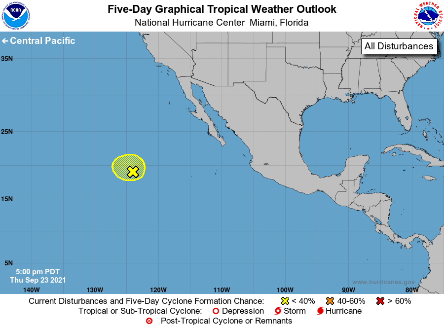
1. Shower activity associated with an elongated area of low pressure 
located about 900 miles west-southwest of the southern tip of 
the Baja California peninsula has changed little over the 
past several hours.  This system is moving over cool waters 
and into an environment of stable air and strong upper-level winds, 
and additional development appears unlikely.
* Formation chance through 48 hours...low...10 percent. 
* Formation chance through 5 days...low...10 percent.

Forecaster Pasch


List of Atlantic Outlooks (May 2023 - present)
List of East Pacific Outlooks (May 2023 - present)
List of Central Pacific Outlooks (May 2023 - present)
List of Atlantic Outlooks (July 2014 - April 2023)
List of East Pacific Outlooks (July 2014 - April 2023)
List of Central Pacific Outlooks (June 2019 - April 2023)
List of Atlantic Outlooks (June 2009 - June 2014)
List of East Pacific Outlooks (June 2009 - June 2014)