ZCZC MIATWOEP ALL
TTAA00 KNHC DDHHMM
Tropical Weather Outlook
NWS National Hurricane Center Miami FL
500 PM PDT Mon Sep 13 2021
For the eastern North Pacific...east of 140 degrees west longitude:
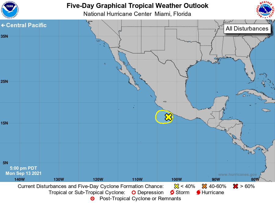
1. An elongated trough of low pressure, located a little over a 100
miles offshore the southern and southwestern coasts of Mexico, is
producing disorganized showers and thunderstorms. Development, if
any, of this system should be slow to occur over the next day or
two while the system moves westward or west-northwestward at 5 to
10 mph. Regardless of development, this system will likely produce
heavy rains across portions of southern and southwestern Mexico
through Tuesday.
* Formation chance through 48 hours...low...10 percent.
* Formation chance through 5 days...low...10 percent.
Forecaster Roberts