ZCZC MIATWOEP ALL
TTAA00 KNHC DDHHMM
Tropical Weather Outlook
NWS National Hurricane Center Miami FL
1100 PM PDT Tue Jun 15 2021
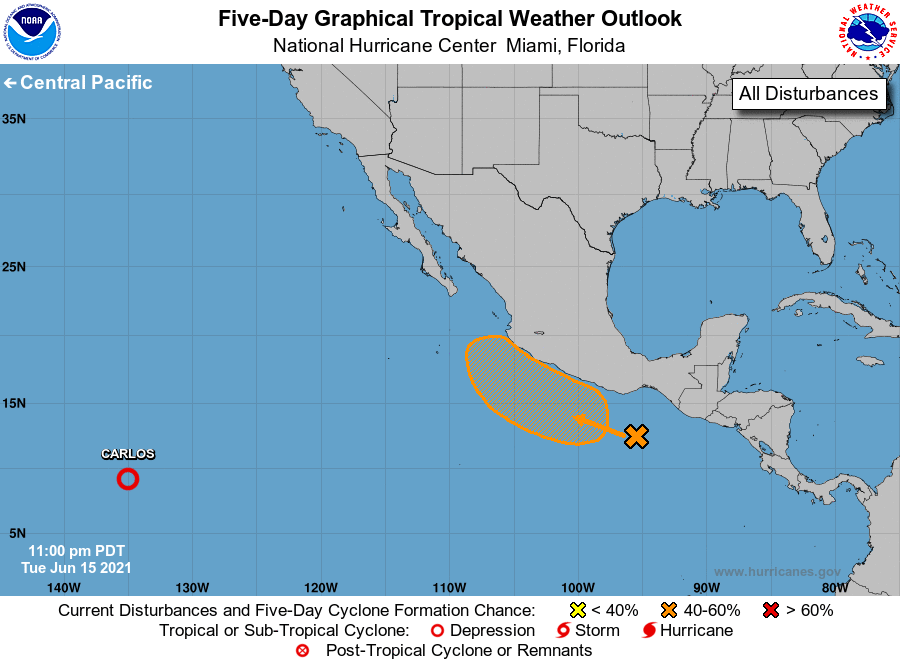
For the eastern North Pacific...east of 140 degrees west longitude:
The National Hurricane Center is issuing advisories on Tropical
Depression Carlos, located about 1900 miles west-southwest of the
southern tip of the Baja California peninsula.
1. Disorganized showers and thunderstorms located a few hundred miles
south of the coast of southern Mexico are associated with a broad
trough of low pressure. A low-pressure system is expected to
develop along this trough within the next couple of days as a
tropical wave moves westward across the area. Environmental
conditions should be favorable for gradual development of this
disturbance later this week, and a tropical depression could form
over the weekend while the system moves slowly northwestward,
offshore of and parallel to the southwestern coast of Mexico.
* Formation chance through 48 hours...low...10 percent.
* Formation chance through 5 days...medium...60 percent.
Forecaster Stewart