ZCZC MIATWOEP ALL
TTAA00 KNHC DDHHMM
Tropical Weather Outlook
NWS National Hurricane Center Miami FL
1100 PM PDT Tue May 25 2021
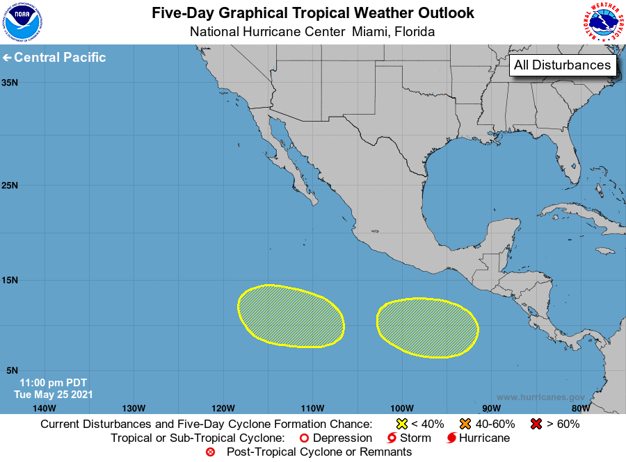
For the eastern North Pacific...east of 140 degrees west longitude:
1. An area of low pressure is expected to form several hundred miles
south of the coasts of Guatemala and southern Mexico by this
weekend. Environmental conditions appear conducive for some gradual
development of this system as it moves generally westward at 5 to 10
mph.
* Formation chance through 48 hours...low...near 0 percent.
* Formation chance through 5 days...low...30 percent.
2. Another area of low pressure is expected to form several hundred
miles southwest of the coast of Mexico later this week. Some
gradual development is possible thereafter as the system moves
westward to west-northwestward at 5 to 10 mph.
* Formation chance through 48 hours...low...near 0 percent.
* Formation chance through 5 days...low...20 percent.
Forecaster Beven