ZCZC MIATWOEP ALL
TTAA00 KNHC DDHHMM
Special Tropical Weather Outlook
NWS National Hurricane Center Miami FL
805 AM PDT Sun May 9 2021
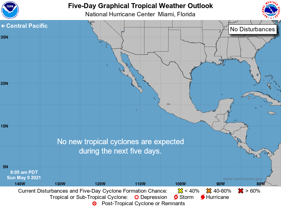
For the eastern North Pacific...east of 140 degrees west longitude:
The National Hurricane Center is issuing advisories on recently
upgraded Tropical Storm Andres located a few hundred miles
south-southeast of the southern tip of the Baja California
peninsula.
Tropical cyclone formation is not expected during the next 5 days.
Routine issuance of the Tropical Weather Outlook will resume on May
15, 2021. During the off-season, Special Tropical Weather Outlooks
will be issued as conditions warrant.
&&
Public Advisories on Tropical Storm Andres are issued under WMO
header WTPZ31 KNHC and under AWIPS header MIATCPEP1.
Forecast/Advisories on Tropical Storm Andres are issued under
WMO header WTPZ21 KNHC and under AWIPS header MIATCMEP1.
$$
Forecaster Pasch
NNNN