ZCZC MIATWOEP ALL
TTAA00 KNHC DDHHMM
Tropical Weather Outlook
NWS National Hurricane Center Miami FL
1100 AM PDT Tue Oct 13 2020
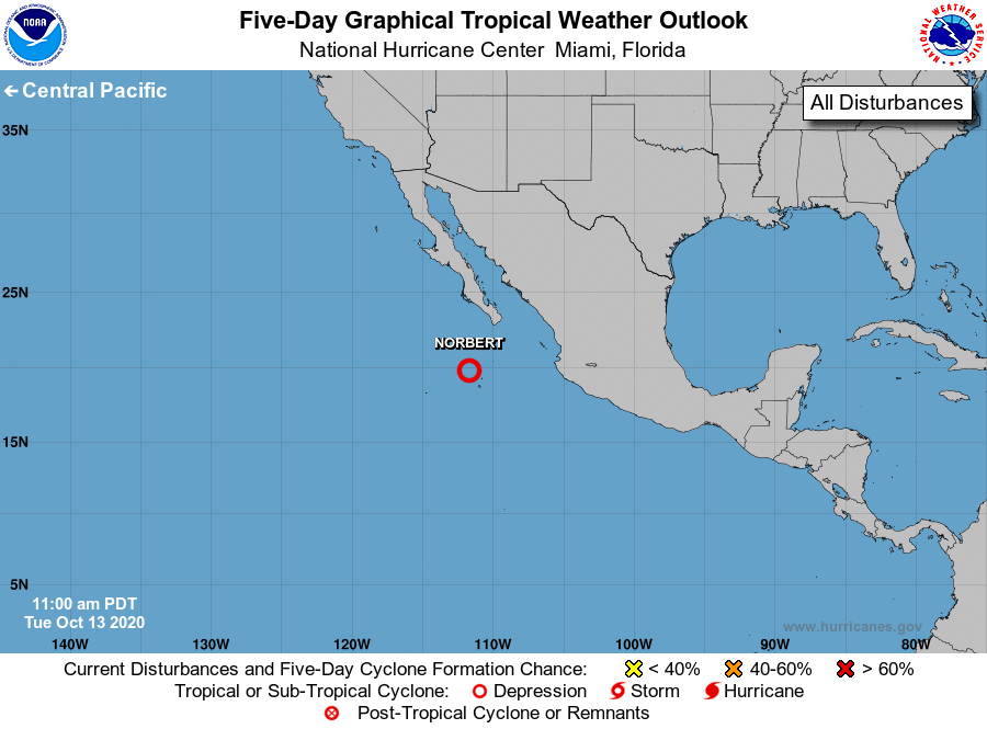
For the eastern North Pacific...east of 140 degrees west longitude:
1. Recent visible satellite imagery, satellite-derived wind data, and
surface observations suggest that an area of low pressure centered
just northwest of Socorro Island, Mexico is becoming better
organized. If current development trends continue, advisories may be
started on a short-lived tropical depression later today. The system
is forecast to move northwestward at 10 to 15 mph through Wednesday,
when it is expected to encounter cooler waters and stronger
upper-level winds that will likely inhibit further development.
* Formation chance through 48 hours...high...90 percent.
* Formation chance through 5 days...high...90 percent.
Forecaster Reinhart/Beven