ZCZC MIATWOEP ALL
TTAA00 KNHC DDHHMM
Tropical Weather Outlook
NWS National Hurricane Center Miami FL
500 PM PDT Wed Sep 30 2020
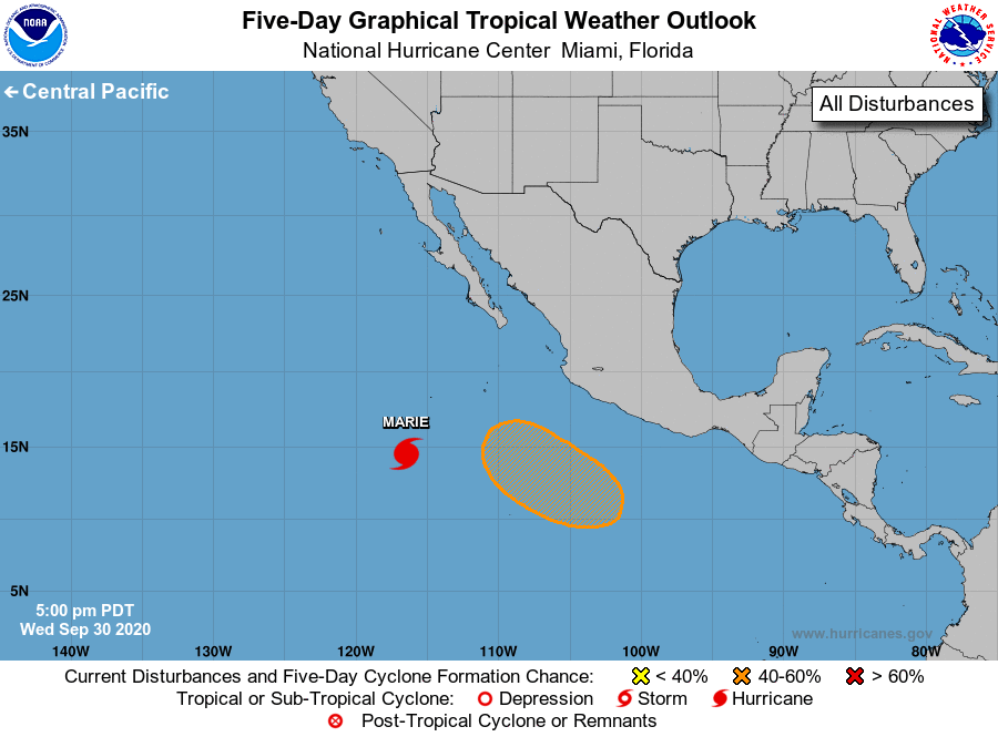
For the eastern North Pacific...east of 140 degrees west longitude:
The National Hurricane Center is issuing advisories on recently
upgraded Hurricane Marie, located several hundred miles south-
southwest of the southern tip of the Baja California peninsula.
1. A broad area of low pressure is expected to form a few hundred
miles southwest of the coast of southwestern Mexico in a few days.
Thereafter, environmental conditions appear conducive for slow
development, and a tropical depression could form early next
week while the system moves west-northwestward at 5 to 10 mph.
* Formation chance through 48 hours...low...near 0 percent.
* Formation chance through 5 days...medium...40 percent.
Forecaster Blake