ZCZC MIATWOEP ALL
TTAA00 KNHC DDHHMM
Tropical Weather Outlook
NWS National Hurricane Center Miami FL
1100 PM PDT Mon Sep 28 2020
For the eastern North Pacific...east of 140 degrees west longitude:
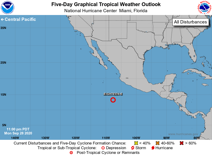
1. Showers and thunderstorms associated with an area of low pressure
located several hundred miles south-southwest of the southern coast
of Mexico continue to show signs of organization. Environmental
conditions are forecast to remain conducive for additional
development, and a tropical depression or tropical storm will
likely form tonight or Tuesday. The low is expected to move
generally westward for the next several days, and then turn
west-northwestward by the weekend.
* Formation chance through 48 hours...high...90 percent.
* Formation chance through 5 days...high...90 percent.
Forecaster Brown