ZCZC MIATWOEP ALL
TTAA00 KNHC DDHHMM
Tropical Weather Outlook
NWS National Hurricane Center Miami FL
500 AM PDT Fri May 15 2020
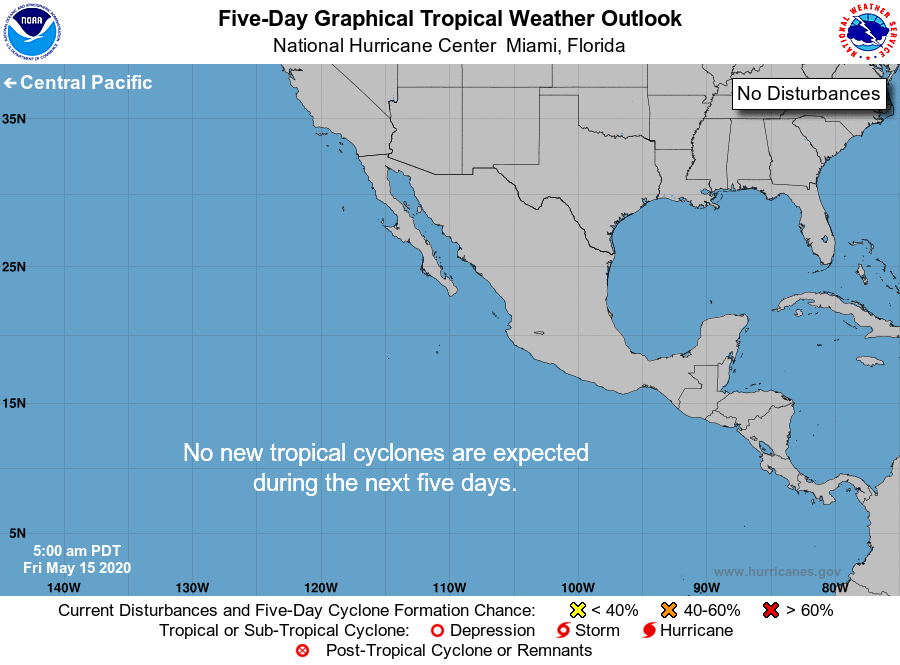
For the eastern North Pacific...east of 140 degrees west longitude:
Tropical cyclone formation is not expected during the next 5 days.
Today marks the first day of the eastern North Pacific hurricane
season, which will run until November 30. Long-term averages for
the number of named storms, hurricanes, and major hurricanes are
15, 8, and 4, respectively.
The list of names for 2020 is as follows:
Name Pronunciation Name Pronunciation
-------------------------------------------------------------
Amanda uh-MAN-duh Marie muh-REE
Boris bor-EES Norbert NOR-bert
Cristina kris-TEE-nuh Odalys oh_DAL-ess
Douglas DUG-luss Polo POH-loh
Elida ELL-ee-dah Rachel RAY-chull
Fausto FOW-sto Simon SY-muhn
Genevieve jeh-nuh-VEEV Trudy TROO-dee
Hernan her-NAHN Vance vanss
Iselle ee-SELL Winne WIN-ee
Julio HOO-lee-o Xavier ZAY-vee-ur
Karina kuh-REE-nuh Yolanda yo-LAHN-da
Lowell LO-uhl Zeke Zeek
This product, the Tropical Weather Outlook, briefly describes
significant areas of disturbed weather and their potential for
tropical cyclone formation during the next five days. The issuance
times of this product are 5 AM, 11 AM, 5 PM, and 11 PM PDT. After
the change to standard time in November, the issuance times are
4 AM, 10 AM, 4 PM, and 10 PM PST.
A Special Tropical Weather Outlook will be issued to provide
updates, as necessary, in between the regularly scheduled
issuances of the Tropical Weather Outlook. Special Tropical
Weather Outlooks will be issued under the same WMO and AWIPS
headers as the regular Tropical Weather Outlooks.
A standard package of products, consisting of the tropical cyclone
public advisory, the forecast/advisory, the cyclone discussion,
and a wind speed probability product, is issued every six hours
for all ongoing tropical cyclones. In addition, a special
advisory package may be issued at any time to advise of
significant unexpected changes or to modify watches or warnings.
NHC has the option to issue advisories, watches, and warnings for
disturbances that are not yet a tropical cyclone, but which pose
the threat of bringing tropical storm or hurricane conditions to
land areas within 48 hours. For these land-threatening "potential
tropical cyclones", NHC will issue the full suite of advisory and
watch/warning products that previously had been issued only for
tropical cyclones. Potential tropical cyclones will share the
naming conventions currently in place for tropical depressions,
being numbered from a single list (e.g., "One-E", "Two-E",
"Three-E", etc.).
The Tropical Cyclone Update is a brief statement to inform of
significant changes in a tropical cyclone, to post or cancel
watches or warnings, or to provide hourly position updates between
intermediate advisories when the storm center is easily followed
by radar. The Tropical Cyclone Update is also used in lieu of
or to precede the issuance of a special advisory package.
Tropical Cyclone Updates, which can be issued at any time, can be
found under WMO header WTPZ61-65 KNHC, and under AWIPS header
MIATCUEP1-5.
All NHC text and graphical products are available on the web at
https://www.hurricanes.gov. More information NHC text products
can be found at https://www.hurricanes.govaboutnhcprod.shtml,
while more information about NHC graphical products can be
found at https://www.hurricanes.gov/aboutnhcgraphics.shtml.
You can also interact with NHC on Facebook at
https://www.facebook.com/NWSNHC. Notifications are available
via Twitter when select NHC products are issued. Information
about our east Pacific Twitter feed is available at
https://www.hurricanes.gov/twitter.shtml.
$$
Forecaster Latto
NNNN