ZCZC MIATWOEP ALL
TTAA00 KNHC DDHHMM
Tropical Weather Outlook
NWS National Hurricane Center Miami FL
1000 AM PST Mon Nov 25 2019
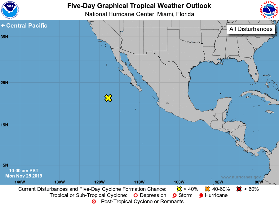
For the eastern North Pacific...east of 140 degrees west longitude:
1. A large area of disorganized showers and thunderstorms centered
about 500 miles west of the southern tip of the Baja California
peninsula is associated with an upper-level low and a surface
trough. Although this system is not expected to become a tropical
cyclone, it will likely produce heavy rains and strong winds over
portions of the Baja California peninsula and northwestern Mexico
during the next few days. See High Seas Forecasts issued by the
National Weather Service for more information.
* Formation chance through 48 hours...low...near 0 percent.
* Formation chance through 5 days...low...near 0 percent.
High Seas Forecasts issued by the National Weather Service can be
found under AWIPS header NFDHSFEPI, WMO header FZPN02 KWBC, and on
the web at ocean.weather.gov/shtml/NFDHSFEPI.php
Forecaster Cangialosi