ZCZC MIATWOEP ALL
TTAA00 KNHC DDHHMM
Tropical Weather Outlook
NWS National Hurricane Center Miami FL
1000 PM PST Mon Nov 4 2019
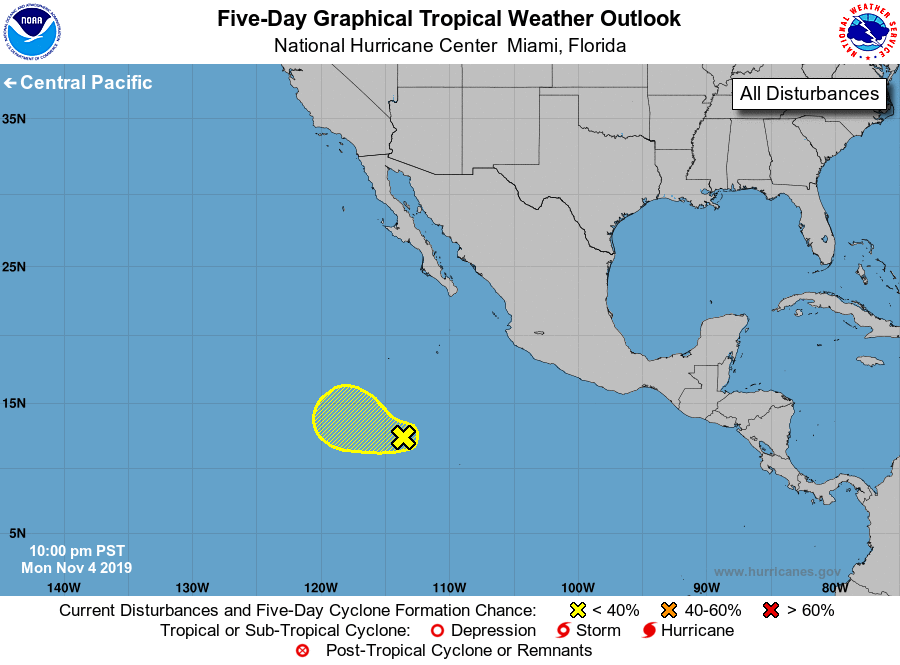
For the eastern North Pacific...east of 140 degrees west longitude:
1. A large area of disorganized cloudiness and thunderstorms located
several hundred miles south-southwest of the southern tip of the
Baja California peninsula is associated with an elongated area of
low pressure. Upper-level winds are forecast to be only marginally
conducive for development of this system while it moves westward
to west-northwestward at 10 to 15 mph during the next couple of
days. By Thursday, upper-level winds are expected to become quite
unfavorable for any significant development of the disturbance.
* Formation chance through 48 hours...low...20 percent.
* Formation chance through 5 days...low...20 percent.
Forecaster Stewart