ZCZC MIATWOEP ALL
TTAA00 KNHC DDHHMM
Tropical Weather Outlook
NWS National Hurricane Center Miami FL
500 PM PDT Sun Oct 20 2019
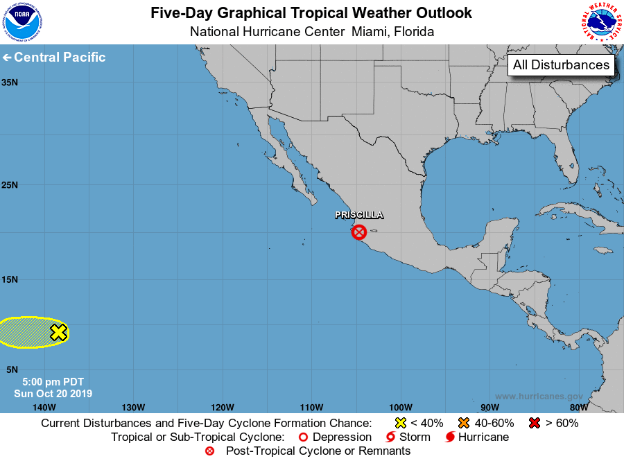
For the eastern North Pacific...east of 140 degrees west longitude:
The National Hurricane Center is issuing advisories on recently
downgraded Tropical Depression Priscilla, located just inland over
west-central Mexico.
1. A well-defined area of low pressure located more than 1000 miles
east-southeast of the Hawaiian Islands continues to produce
disorganized showers and thunderstorms. Any development of this
system should be slow to occur during the next couple of days before
upper-level winds become unfavorable. The low is expected to move
westward and cross into the central Pacific basin by early Monday.
* Formation chance through 48 hours...low...20 percent.
* Formation chance through 5 days...low...20 percent.
Public Advisories on Priscilla are issued under WMO header WTPZ34
KNHC and under AWIPS header MIATCPEP4. Forecast/Advisories on
Priscilla are issued under WMO header WTPZ24 KNHC and under AWIPS
header MIATCMEP4.
Forecaster Cangialosi