ZCZC MIATWOEP ALL
TTAA00 KNHC DDHHMM
Tropical Weather Outlook
NWS National Hurricane Center Miami FL
1100 PM PDT Sat Oct 5 2019
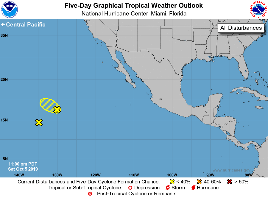
For the eastern North Pacific...east of 140 degrees west longitude:
1. Shower activity has decreased during the past few hours near an area
of low pressure located about 1400 miles west-southwest of the
southern tip of the Baja California peninsula. In addition, the
circulation of the low appears less defined that it was yesterday,
and development of this system is unlikely. This low is expected to
move northwestward at about 10 mph and merge with another
disturbance to its southwest in a day or two.
* Formation chance through 48 hours...low...10 percent.
* Formation chance through 5 days...low...10 percent.
2. Shower activity remains disorganized in association with a weak area
of low pressure located about 1700 miles west-southwest of the
southern tip of the Baja California peninsula. Development of this
system is not expected while it drifts westward during the next few
days.
* Formation chance through 48 hours...low...near 0 percent.
* Formation chance through 5 days...low...near 0 percent.
Forecaster Cangialosi