ZCZC MIATWOEP ALL
TTAA00 KNHC DDHHMM
Tropical Weather Outlook
NWS National Hurricane Center Miami FL
500 PM PDT Sat Sep 7 2019
For the eastern North Pacific...east of 140 degrees west longitude:
The National Hurricane Center has issued the last advisory on
Post-Tropical Cyclone Juliette, located well west of the southern
tip of the Baja California peninsula.
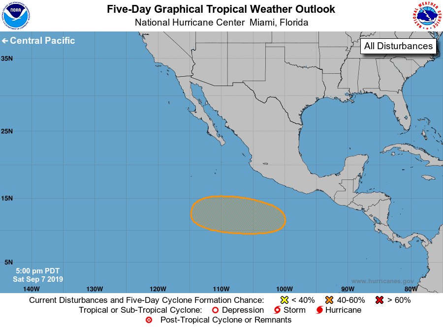
1. An area of low pressure is expected to form early next week a few
hundred miles southwest of the southern coast of Mexico.
Environmental conditions appears conducive for gradual development,
and a tropical depression could form by the middle of next week
while it moves west-northwestward at around 10 mph.
* Formation chance through 48 hours...low...near 0 percent.
* Formation chance through 5 days...medium...40 percent.
For additional information on Post-Tropical Cyclone Juliette, please
see High Seas Forecasts issued by the National Weather Service,
under AWIPS header NFDHSFEPI, WMO header FZPN02 KWBC, and on the web
at ocean.weather.gov/shtml/NFDHSFEPI.php
Forecaster Blake