ZCZC MIATWOEP ALL
TTAA00 KNHC DDHHMM
Tropical Weather Outlook
NWS National Hurricane Center Miami FL
1100 PM PDT Sat Aug 31 2019
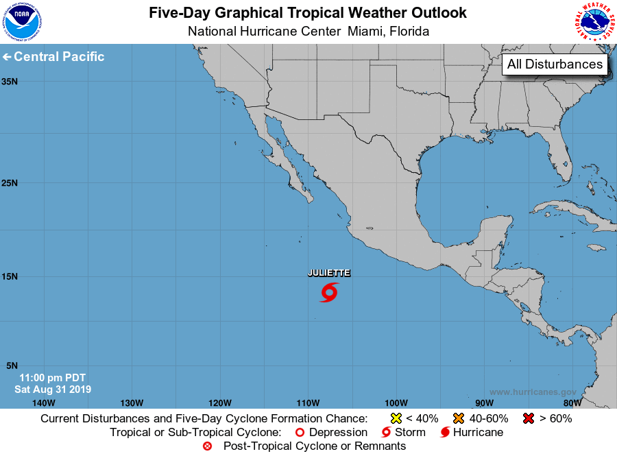
For the eastern North Pacific...east of 140 degrees west longitude:
1. Showers and thunderstorms are showing signs of organization and a
tropical cyclone could be forming several hundred miles southwest
of Manzanillo, Mexico. Recent satellite-derived winds indicate that
this low pressure system is already producing surface winds to near
tropical storm force east of the center. Environmental conditions
are conducive for further development, and a tropical depression or
a tropical storm is likely to form on Sunday while the system moves
west-northwestward to northwestward at around 10 mph. For additional
information see High Seas Forecasts issued by the National Weather
Service.
* Formation chance through 48 hours...high...near 100 percent.
* Formation chance through 5 days...high...near 100 percent.
High Seas Forecasts issued by the National Weather Service
can be found under AWIPS header NFDHSFEPI, WMO header FZPN02
KWBC, and on the web at ocean.weather.gov/shtml/NFDHSFEPI.php
Forecaster Stewart