ZCZC MIATWOEP ALL
TTAA00 KNHC DDHHMM
Tropical Weather Outlook
NWS National Hurricane Center Miami FL
1100 AM PDT Fri Aug 23 2019
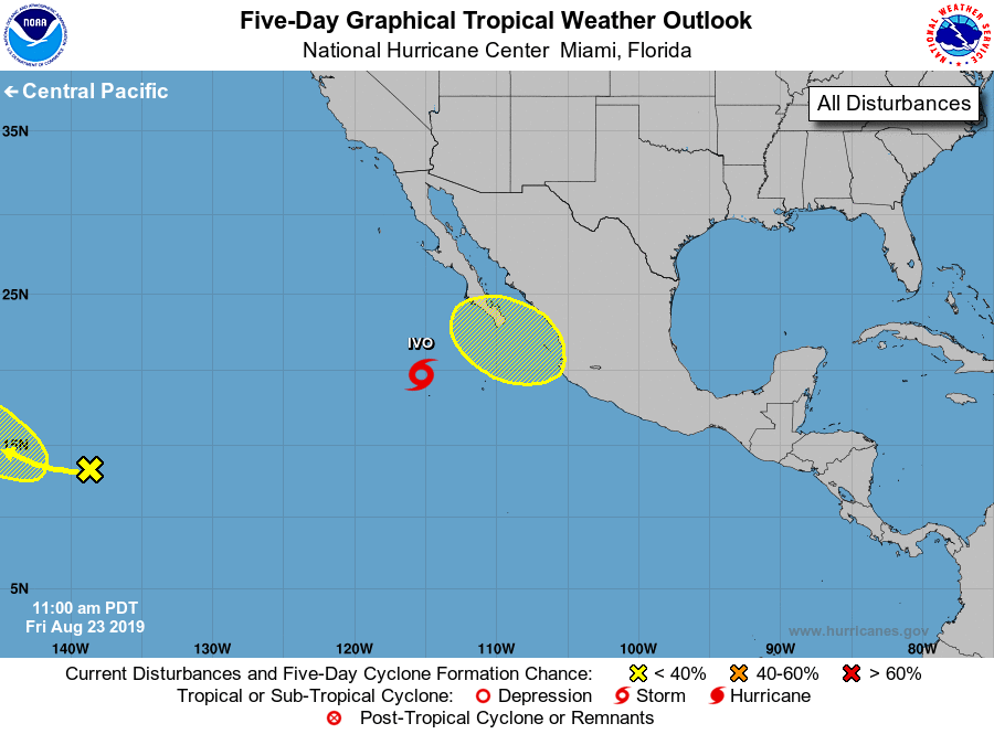
For the eastern North Pacific...east of 140 degrees west longitude:
The National Hurricane Center is issuing advisories on Tropical
Storm Ivo, located a few hundred miles southwest of the southern
tip of the Baja California peninsula.
1. A surface trough located about 1100 miles east-southeast of the Big
Island of Hawaii is producing limited shower and thunderstorm
activity. Environmental conditions could become a little more
conducive for some development in the central Pacific basin well to
the east of the Hawaiian Islands in a few days as the system
moves slowly northwestward.
* Formation chance through 48 hours...low...near 0 percent.
* Formation chance through 5 days...low...30 percent.
2. An area of low pressure is likely to form early next week just
offshore of the west-central Mexico coast near the southern tip of
the Baja California peninsula. Some slow development of this system
is possible thereafter as it moves west to west-northwest at around
10 mph.
* Formation chance through 48 hours...low...near 0 percent.
* Formation chance through 5 days...low...20 percent.
Forecaster Latto/Blake