ZCZC MIATWOEP ALL
TTAA00 KNHC DDHHMM
Tropical Weather Outlook
NWS National Hurricane Center Miami FL
500 AM PDT Fri Jul 26 2019
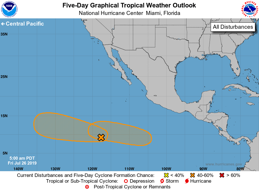
For the eastern North Pacific...east of 140 degrees west longitude:
1. Shower activity associated with a tropical wave located about 1000
miles south-southwest of the southern tip of the Baja California
peninsula has become a little more organized since yesterday.
Although there are no signs of a surface circulation at this time,
environmental conditions are forecast to become more conducive for
development during the next few days, and a tropical depression
could form early next week. The disturbance is expected to move
westward to west-northwestward at 10 to 15 mph.
* Formation chance through 48 hours...low...30 percent.
* Formation chance through 5 days...medium...50 percent.
2. An area of low pressure is expected to form a few hundred miles
south of the coast of southern Mexico early next week. Some
gradual development of the low is expected thereafter, and a
tropical depression could form while the system moves generally
westward at 15 to 20 mph.
* Formation chance through 48 hours...low...near 0 percent.
* Formation chance through 5 days...medium...50 percent.
Forecaster Avila