ZCZC MIATWOEP ALL
TTAA00 KNHC DDHHMM
Tropical Weather Outlook
NWS National Hurricane Center Miami FL
1100 AM PDT Mon Jul 15 2019
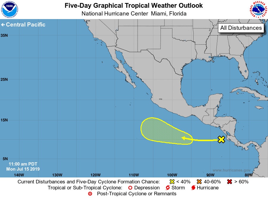
For the eastern North Pacific...east of 140 degrees west longitude:
1. A westward-moving tropical wave located just west of Costa Rica and
Nicaragua is producing disorganized showers and thunderstorms. An
area of low pressure is likely to form in association with this
disturbance during the next couple of days several hundred miles
south of the southern coast of Mexico. Conditions appear favorable
for gradual development of this system by late this week and over
the weekend while this disturbance moves westward to
west-northwestward at 10 to 15 mph.
* Formation chance through 48 hours...low...near 0 percent.
* Formation chance through 5 days...low...30 percent.
Forecaster Latto/Stewart