ZCZC MIATWOEP ALL
TTAA00 KNHC DDHHMM
Tropical Weather Outlook
NWS National Hurricane Center Miami FL
1100 AM PDT Sat Jul 6 2019
For the eastern North Pacific...east of 140 degrees west longitude:
The National Hurricane Center has issued the last advisory on
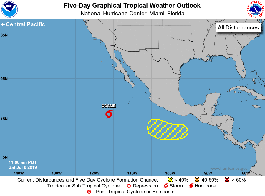
Barbara, located about midway between the Baja California peninsula
and Hawaii, and has begun issuing advisories on Tropical Storm
Cosme, located several hundred miles southwest of the southern tip
of the Baja California peninsula.
1. An area of low pressure is expected to form early next week several
hundred miles south of the southern coast of Mexico. Some gradual
development is possible thereafter while the system moves westward
to west-northwestward.
* Formation chance through 48 hours...low...near 0 percent.
* Formation chance through 5 days...low...20 percent.
Public Advisories on Cosme are issued under WMO header WTPZ33 KNHC
and under AWIPS header MIATCPEP3. Forecast/Advisories are issued
under WMO header WTPZ23 KNHC and under AWIPS header MIATCMEP3.
Forecaster Avila