ZCZC MIATWOEP ALL
TTAA00 KNHC DDHHMM
Tropical Weather Outlook
NWS National Hurricane Center Miami FL
1100 AM PDT Mon May 27 2019
For the eastern North Pacific...east of 140 degrees west longitude:
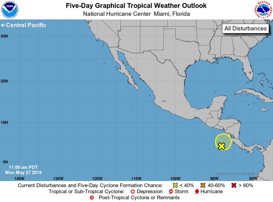
1. Disorganized showers and thunderstorms continue over portions of
Costa Rica, Nicaragua, and the far eastern Pacific and are
associated with an elongated area of low pressure. Significant
development of this system appears unlikely before it moves inland
over Central America by midweek. Regardless of development, locally
heavy rains are likely to continue over portions of Central America
during the next several days. These rains could cause flash flooding
and mudslides in areas of mountainous terrain.
* Formation chance through 48 hours...low...10 percent.
* Formation chance through 5 days...low...10 percent.
Forecaster Latto/Blake