ZCZC MIATWOEP ALL
TTAA00 KNHC DDHHMM
Special Tropical Weather Outlook
NWS National Hurricane Center Miami FL
740 AM PST Sat Jan 5 2019
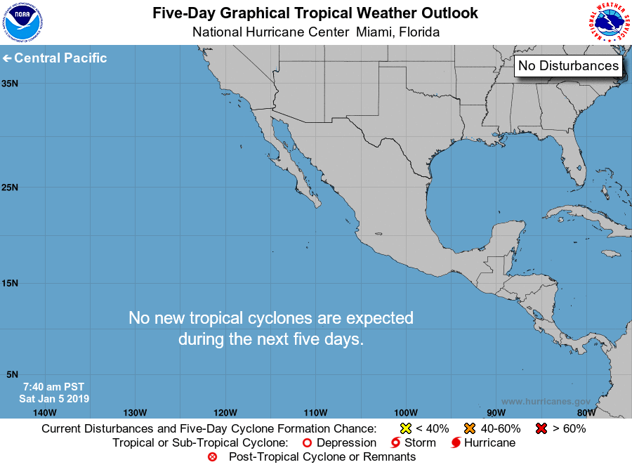
For the eastern North Pacific...east of 140 degrees west longitude:
Shower activity associated with a broad low pressure system centered
about 1100 miles west-southwest of the southern tip of the Baja
California peninsula has become less organized since yesterday.
Environmental conditions have become unfavorable and tropical or
subtropical cyclone development is not anticipated. Additional
information on this system can be found in High Seas Forecasts
issued by the National Weather Service. This is the last Special
Tropical Weather Outlook that will be issued on this system.
* Formation chance through 48 hours...low...near 0 percent.
* Formation chance through 5 days...low...near 0 percent.
Routine issuance of the Tropical Weather Outlook will resume on May
15, 2019. During the off-season, Special Tropical Weather Outlooks
will be issued as conditions warrant.
&&
High Seas Forecasts are issued by the National Weather Service
under AWIPS header NFDHSFEPI, WMO header FZPN02 KWBC, and are
available on the web at
https://ocean.weather.gov/shtml/NFDHSFEPI.shtml.
$$
Forecaster Zelinsky
NNNN