ZCZC MIATWOEP ALL
TTAA00 KNHC DDHHMM
Tropical Weather Outlook
NWS National Hurricane Center Miami FL
1000 AM PST Tue Nov 27 2018
For the eastern North Pacific...east of 140 degrees west longitude:
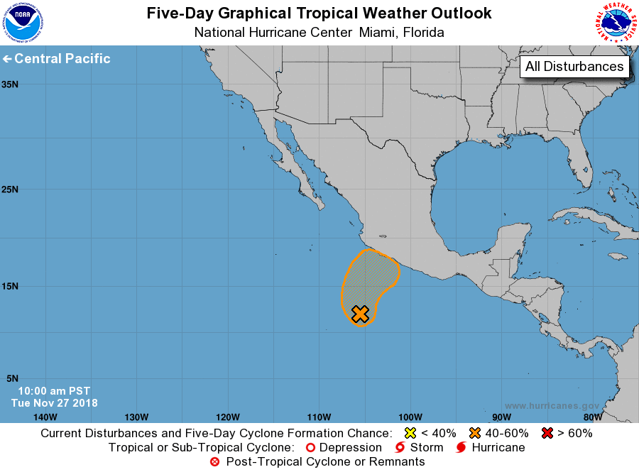
1. A low pressure system located about 450 miles south-southwest of
Zihuatanejo, Mexico, continues to produce disorganized shower and
thunderstorm activity. However, environmental conditions are
forecast to become marginally conducive for some gradual
development, and a tropical depression could still form during the
next day or two. The disturbance is forecast to move northward today
and tonight, and then turn northeastward toward southwestern Mexico
on Wednesday.
* Formation chance through 48 hours...medium...50 percent.
* Formation chance through 5 days...medium...50 percent.
Forecaster Stewart