ZCZC MIATWOEP ALL
TTAA00 KNHC DDHHMM
Tropical Weather Outlook
NWS National Hurricane Center Miami FL
500 AM PDT Sat Oct 13 2018
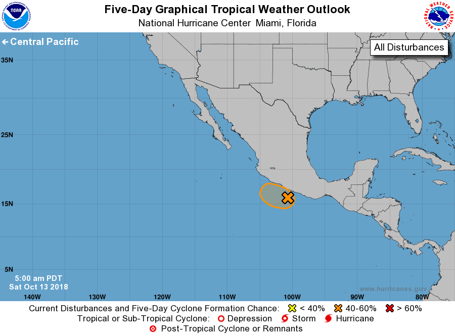
For the eastern North Pacific...east of 140 degrees west longitude:
1. Satellite-derived surface winds and radar data from Acapulco
indicate that a small but well-defined low pressure system has
developed less than 100 miles southwest of Acapulco, Mexico.
Associated shower and thunderstorm activity has increased and become
much better organized overnight, and further development of the low
is possible during the next few days while the system moves slowly
westward to west-northwestward parallel to the southern coast of
Mexico. However, only a slight deviation to the right or north of
the expected track would bring the small disturbance and its heavy
rains closer to or even inland along the southwestern coast of
Mexico. Interests in this area should monitor the progress of this
system as well as products issued by the Mexican Meteorological
Service.
* Formation chance through 48 hours...medium...40 percent.
* Formation chance through 5 days...medium...40 percent.
Forecaster Stewart